Progress Photography
Repeatable aerial angles for monthly, weekly, or milestone progress updates.
Construction
Recurring aerial photos, progress videos, and organized jobsite documentation for Colorado builders, developers, owners, and project teams.
Construction Documentation
Construction projects move quickly, and it can be hard to keep owners, investors, architects, and project teams aligned with only ground photos or written updates. Alpine Aerial Photography provides recurring construction progress photography and drone documentation for Colorado jobsites, giving your team a clear visual record of what changed, when it changed, and how the site is progressing.
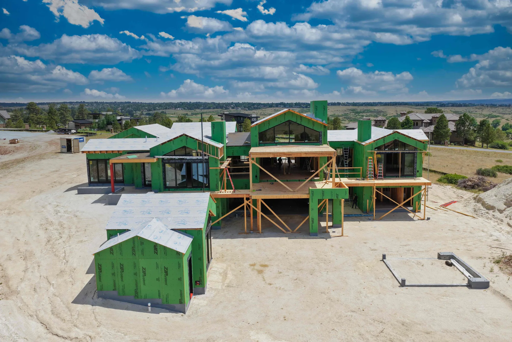
From wide aerial overviews to detailed progress images, we capture consistent angles that make it easier to compare work month to month, communicate with stakeholders, document milestones, and create marketing content while the project is still active.
Services
Whether you need monthly progress photos, marketing visuals, or a consistent visual archive for internal reporting, Alpine Aerial Photography captures construction sites from angles that are difficult to get from the ground.
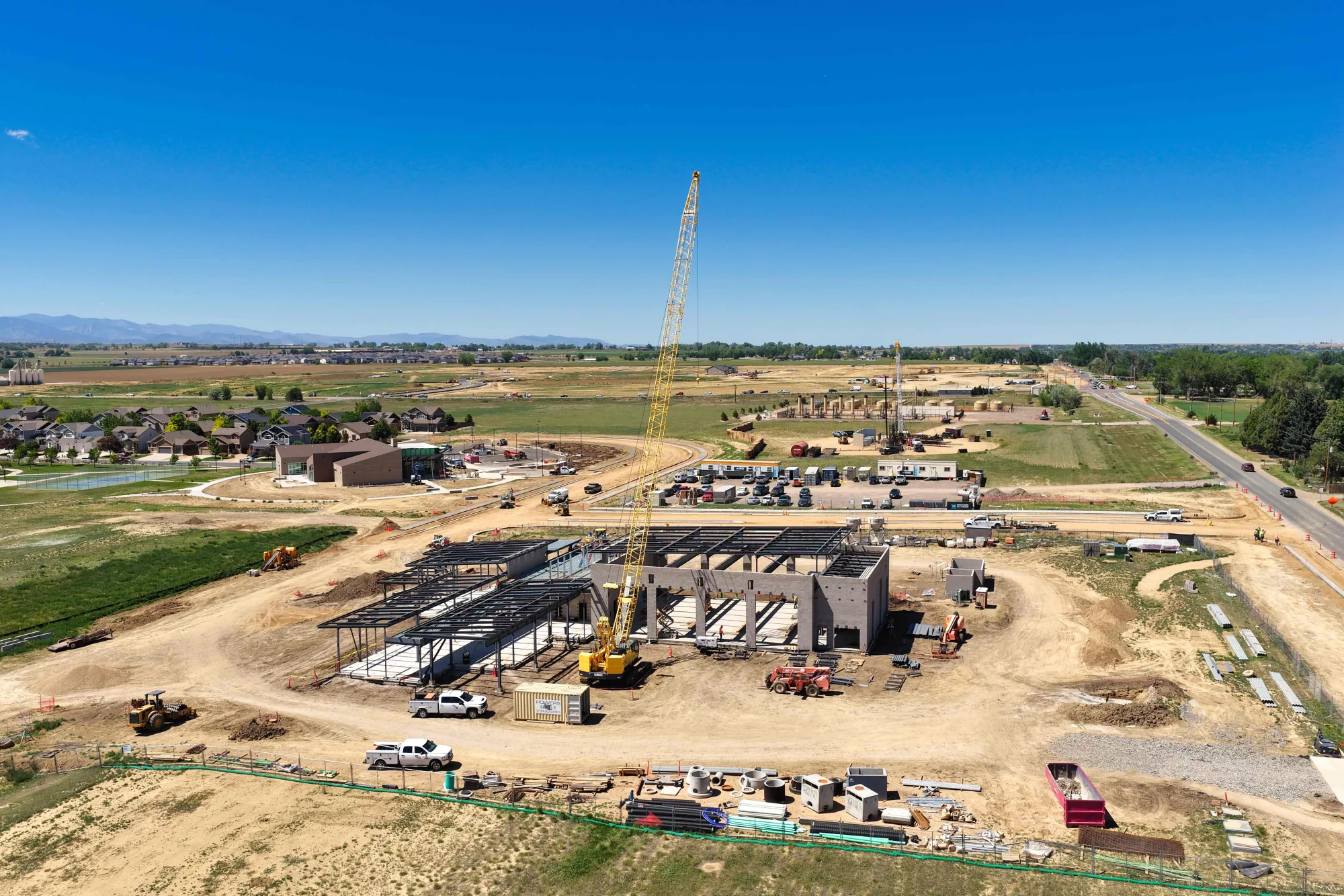
Repeatable aerial angles for monthly, weekly, or milestone progress updates.
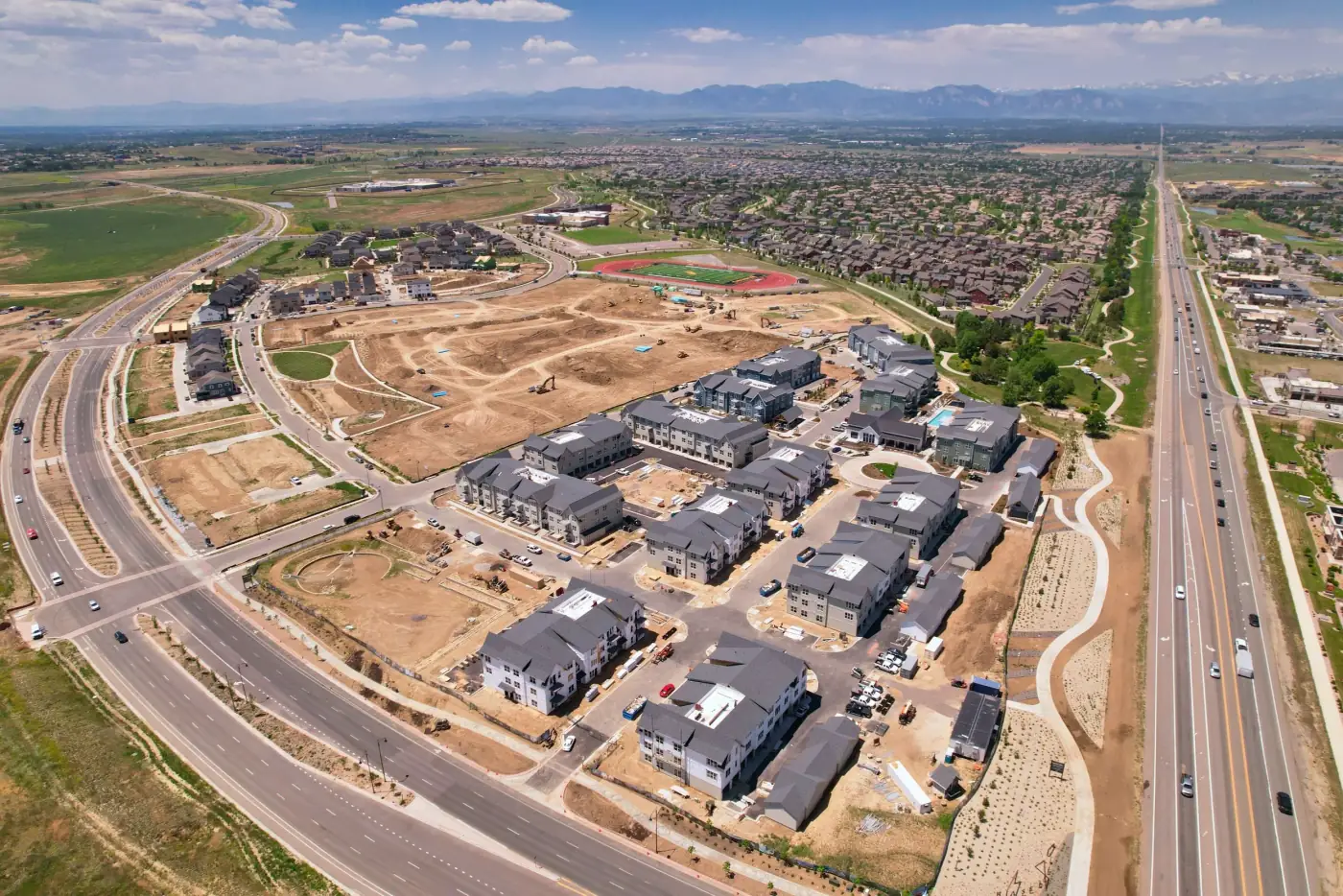
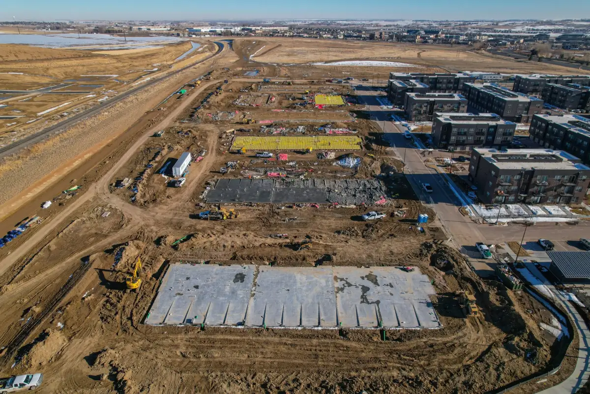
Site overview imagery for planning, context, and mapping coordination.
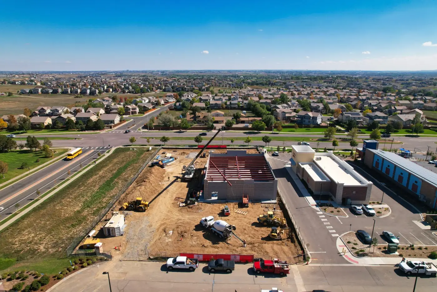
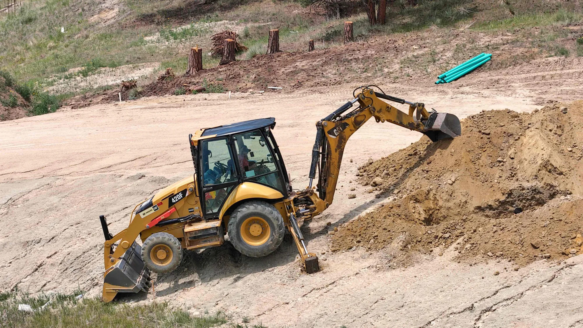
Wide views and detail photos of access, staging, phases, and conditions.
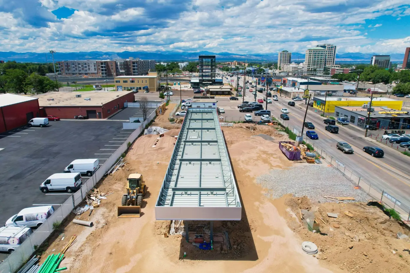
Polished visuals for owners, investors, marketing, reports, and web updates.
Gallery
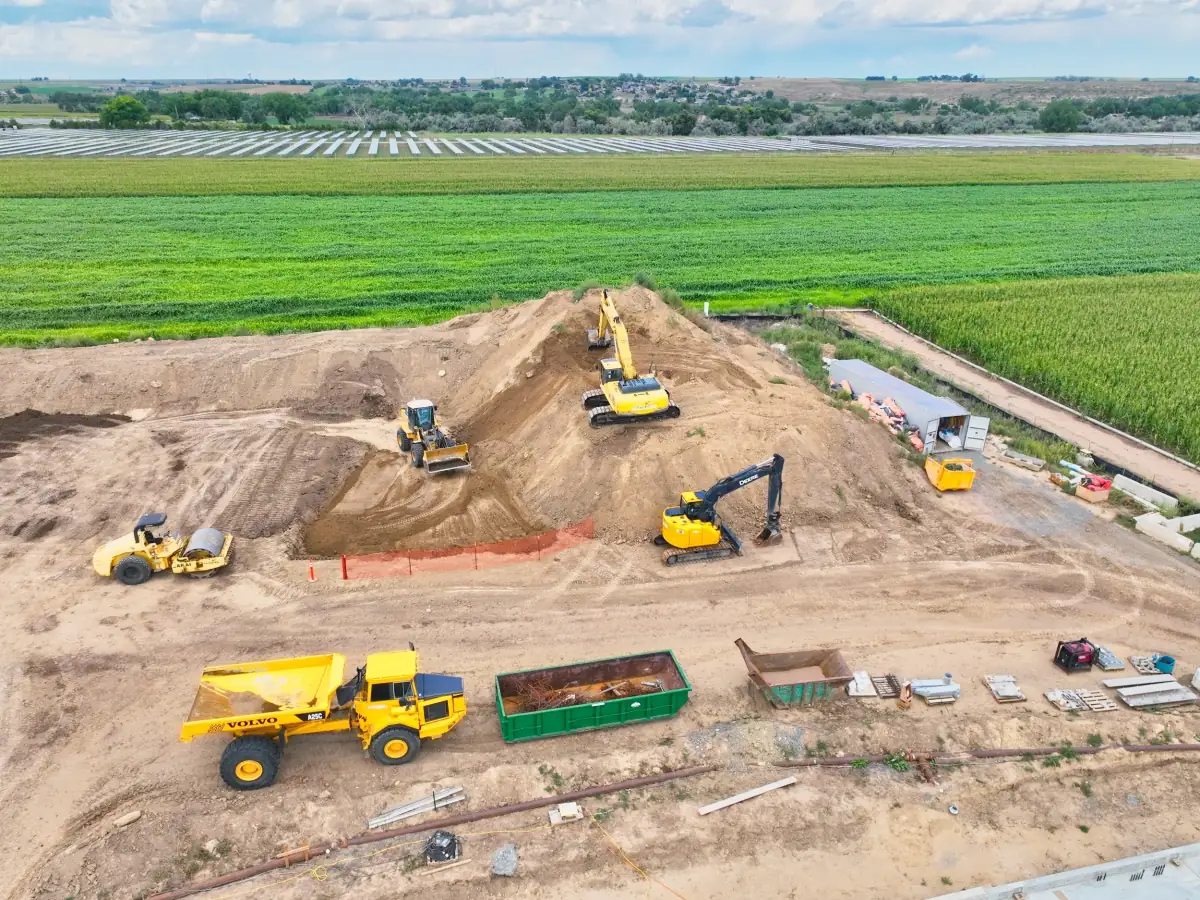
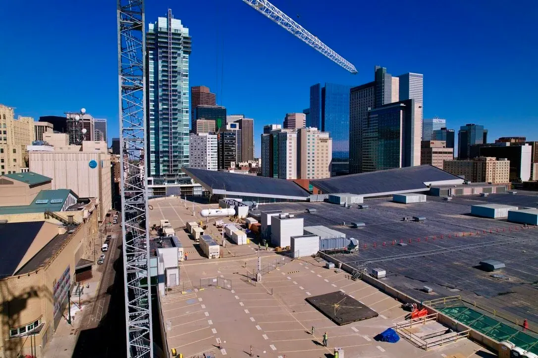
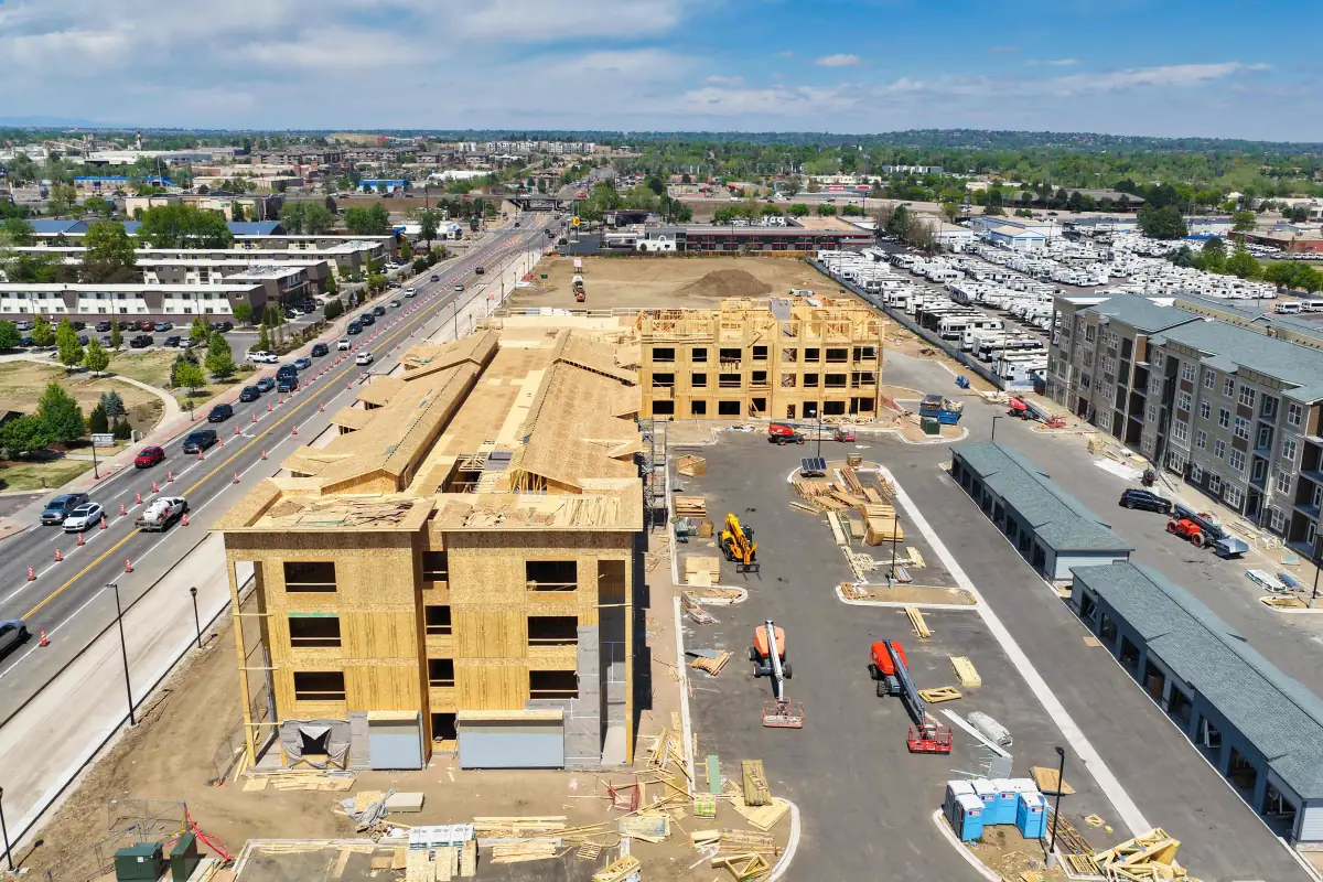
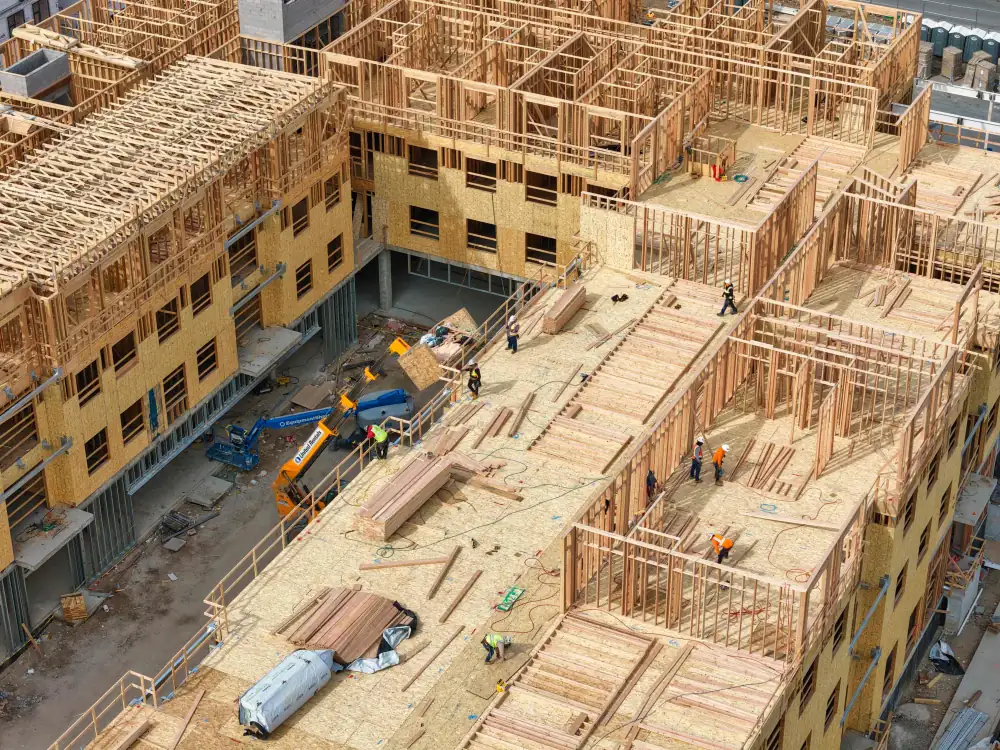
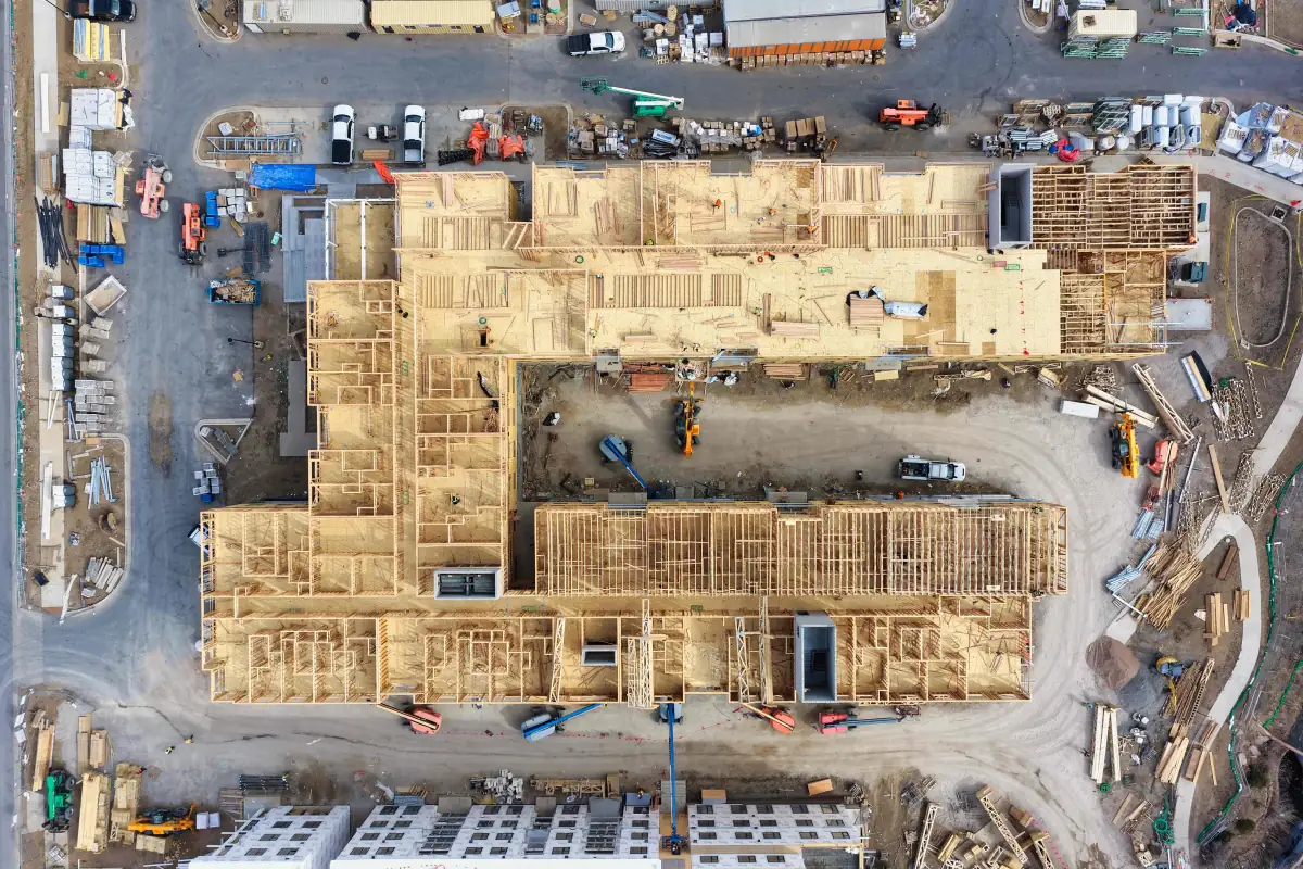
Aerial construction photography is most useful when teams can quickly understand the site. This gallery shows the types of angles and deliverables that can be captured during recurring progress flights, including wide overviews, active work areas, detail images, and progress video clips.
Featured Video
Progress video clips can be delivered as standalone updates or combined into longer project recap edits.
Workflow
For recurring construction drone work, consistency matters. Before the first flight, we can define preferred angles, flight frequency, site contacts, safety requirements, delivery format, and folder organization. This makes each visit easier to compare against previous captures and keeps your visual reporting organized from the start.
Depending on the project, documentation can include wide site overviews, closer progress details, short aerial video clips, labeled image sets, and stakeholder-ready exports.
Standard construction progress photography is for visual documentation, communication, marketing, and reporting. It is not survey-grade data by default. When a project needs survey-grade mapping or measurements, Alpine Aerial Photography can coordinate with your surveyor or qualified mapping professional so the drone capture supports the right workflow, control points, and deliverable requirements.
Local construction pages
Dedicated drone jobsite documentation pages for Boulder, Denver, Golden, and Castle Rock construction teams.
FAQ
Yes. For recurring construction documentation, we can capture similar aerial angles during each visit so your team can compare progress over time. Exact positioning may vary based on weather, airspace, site activity, and safety conditions, but the goal is to keep the visual record as consistent as possible.
Most projects use monthly, biweekly, weekly, or milestone-based photo schedules. The best frequency depends on the pace of construction, reporting needs, and how often owners, investors, or project managers need visual updates.
Typical deliveries include edited aerial photos, selected unedited images if requested, short progress video clips, and organized folders grouped by date or project phase. Delivery can be customized for internal reporting, stakeholder updates, marketing, or archival use.
Yes. A single site visit can include aerial photos, short video clips, wide overview angles, and closer detail shots. This is often the most efficient option for teams that need both documentation and marketing content.
Flights are planned around site conditions, people, equipment, weather, and airspace requirements. Alpine Aerial Photography operates under FAA Part 107 rules and coordinates with site contacts when needed to keep each flight practical and safe.
Standard construction progress photography is intended for visual documentation, reporting, marketing, and communication. It is not survey-grade mapping by default. If your project needs survey-grade data, measurements, or mapping deliverables, Alpine Aerial Photography can coordinate with your surveyor or qualified mapping professional so the drone capture supports the proper workflow, control points, and project requirements.
Start a Project
Tell us about your site, schedule, and deliverables. We can help plan recurring photo, video, drone, and mapping coverage.