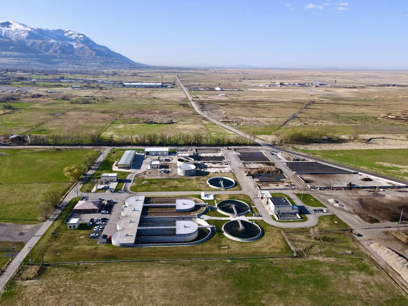
Aerial Infrastructure Documentation
High-resolution drone photos and video for roads, bridges, drainage, facilities, corridors, and public works sites.
Inspections
Aerial infrastructure documentation, drone inspection imagery, mapping, thermal support, LiDAR-adjacent capture, and GIS-ready files in Colorado.
Infrastructure Inspections
Drone imagery helps infrastructure teams document roads, bridges, drainage, utilities, corridors, facilities, public works sites, and exterior systems from practical vantage points.
Alpine Aerial Photography captures aerial infrastructure documentation, inspection-focused imagery, LiDAR mapping, photogrammetry, orthomosaic maps, 3D infrastructure models, thermal drone imaging where useful, and GIS-ready data for planning, maintenance, communication, and qualified review.
Services
Use drone capture to improve site awareness, reduce unnecessary access risk, and create organized visual records for teams and stakeholders.
High-resolution drone photos and video for roads, bridges, drainage, facilities, corridors, and public works sites.
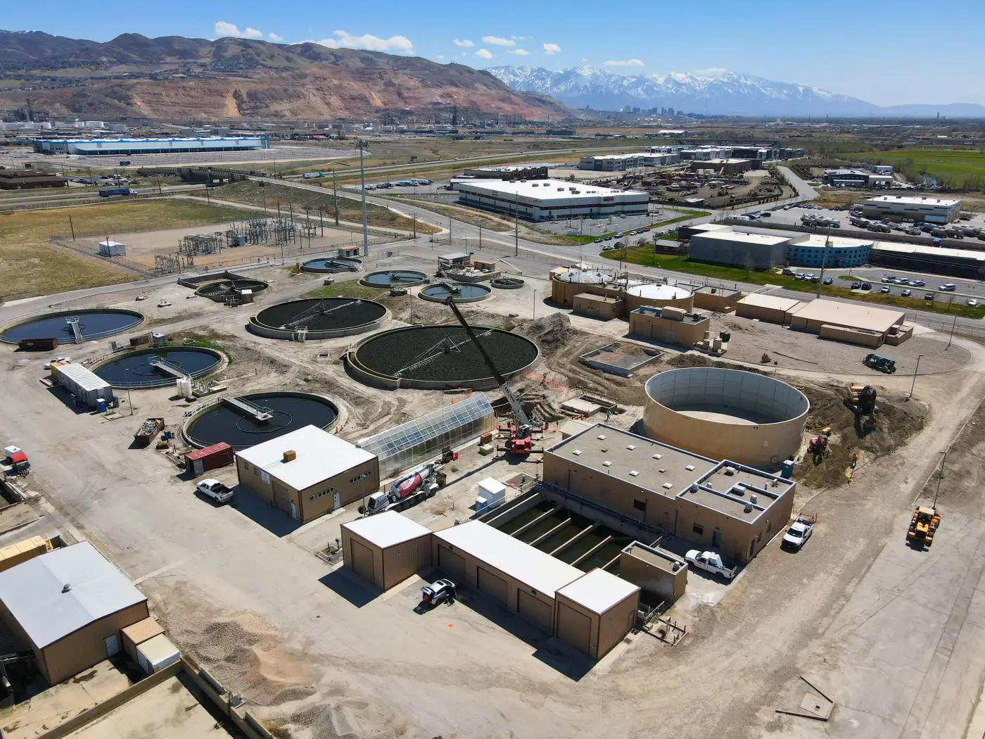
Visual documentation and route context for utility corridors, access points, right-of-way context, and surrounding site conditions.
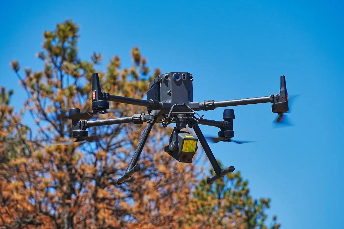
LiDAR mapping, photogrammetry, orthomosaic maps, and 3D models for terrain, structures, corridors, and surrounding context.
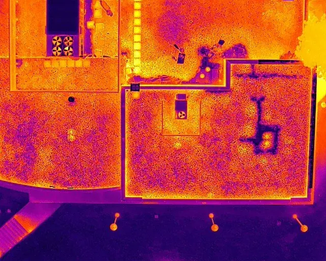
Thermal imagery where useful, before-and-after documentation, and repeatable progress records for maintenance or project reporting.
Gallery
Infrastructure projects often need broad site context, focused inspection media, mapping deliverables, and repeatable visual records.
Infrastructure Documentation
Drone imagery, LiDAR, orthomosaic maps, 3D models, and GIS-ready outputs can help teams understand site conditions without claiming engineering or survey certification.
Use Cases
Infrastructure drone inspection and mapping is useful when teams need safer access, faster site awareness, or clearer records for planning, maintenance, reporting, grants, or public communication.
Road, bridge, drainage, and utility documentation
Public works and municipal facility records
Utility corridor mapping and access planning
Construction and infrastructure progress documentation
Before-and-after documentation for repairs or improvements
GIS data integration for existing mapping workflows
3D infrastructure models for visualization and site understanding
Inspection media for contractors, engineers, maintenance teams, and owners
Process
Each project is scoped around the asset, access rules, safety needs, deliverable format, and how the imagery or data will be reviewed.
Step 1
Identify the road, bridge, utility corridor, facility, drainage area, or infrastructure system and the decision the documentation needs to support.
Step 2
Review site hazards, permissions, airspace, escorts, operating limits, and required angles before flight.
Step 3
Collect photos, video, thermal imagery, LiDAR, or mapping data based on the final deliverable.
Step 4
Create orthomosaic maps, 3D models, GIS-ready outputs, or organized inspection media where useful.
Step 5
Provide labeled files that support maintenance teams, contractors, engineers, owners, and public-facing communication.
Workflow
We identify the asset, hazards, access rules, required angles, delivery format, mapping needs, GIS requirements, and whether a qualified inspection professional will review the imagery.
Some sites require escorts, safety briefings, permission windows, traffic or facility coordination, or operating limits before flight. When survey-grade measurements or engineering conclusions are required, those services should be coordinated with the appropriate licensed professional.
Alpine Aerial Photography provides visual documentation, orthomosaic maps, LiDAR datasets, 3D models, thermal imagery, and GIS-ready outputs. These deliverables support planning and review, but they do not replace a licensed survey, engineering review, structural analysis, or formal compliance determination.
Why Alpine Aerial Photography
You get careful flight planning, Colorado field experience, and organized visual deliverables that make infrastructure information easier to review and share.
High-resolution aerial infrastructure documentation
LiDAR, photogrammetry, orthomosaic maps, and 3D models
Thermal support where appropriate
GIS-ready data organization
Repeatable progress and before-after records
Clear limits around survey and engineering work
FAQ
Drones can provide aerial infrastructure documentation, inspection-focused imagery, orthomosaic maps, LiDAR mapping, 3D infrastructure models, thermal drone imaging, GIS-ready data, and repeatable progress records that help teams understand site conditions and communicate project information.
Drone imagery can support documentation for roads, bridges, drainage areas, utilities, corridors, public works facilities, wastewater sites, exterior systems, construction-adjacent infrastructure, and other hard-to-access assets when permissions and safety conditions allow.
Yes. Alpine Aerial Photography can provide LiDAR data collection, photogrammetry, orthomosaic maps, and 3D models for visualization, site understanding, planning, and documentation.
Yes. Deliverables can be organized as GIS-ready drone data for teams that need to integrate aerial imagery, maps, LiDAR datasets, or site records with existing mapping workflows.
No. Alpine Aerial Photography is not a licensed surveyor. Drone maps, LiDAR datasets, and 3D models can provide survey-informed visual documentation, but they are not a replacement for a licensed survey where one is required.
Yes. Repeat drone flights can provide construction and infrastructure progress documentation, before and after imagery, recurring site overviews, and visual records for maintenance, grants, public communication, and project reporting.
Start a Project
Tell us about the asset, site access, deliverables, and technical needs. We'll help scope the right inspection, mapping, LiDAR, thermal, or GIS workflow.