Thermal Capture
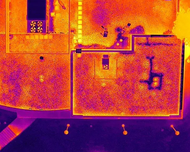
Aerial thermal images for roofs, solar assets, and exterior systems.
Inspections
Thermal drone inspection imagery for Colorado roofs, solar assets, building envelopes, infrastructure, and site documentation where conditions support thermal capture.
Thermal Inspections
Thermal drone imagery can help qualified teams review roofs, building envelopes, solar assets, and infrastructure where temperature patterns matter.
Alpine Aerial Photography provides thermal capture with visual reference photos, organized exports, and planning around weather, timing, surface conditions, and project goals.
Services
Thermal work is planned around conditions so the imagery is actually useful.
Aerial thermal images for roofs, solar assets, and exterior systems.
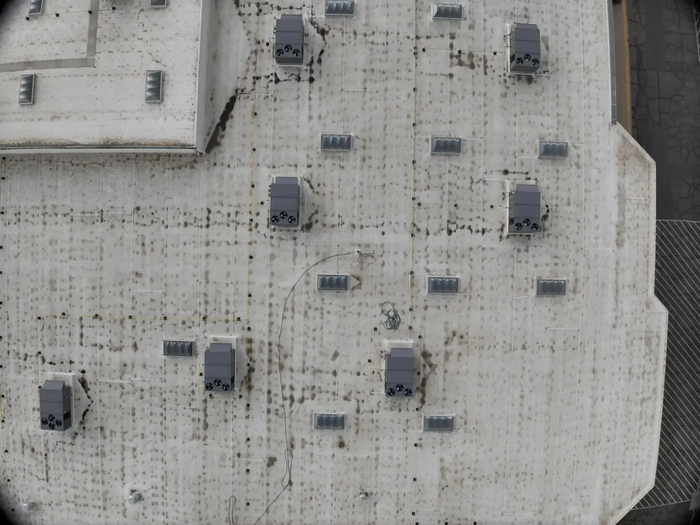
Standard photos paired with thermal images for easier review.
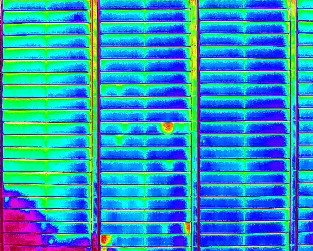
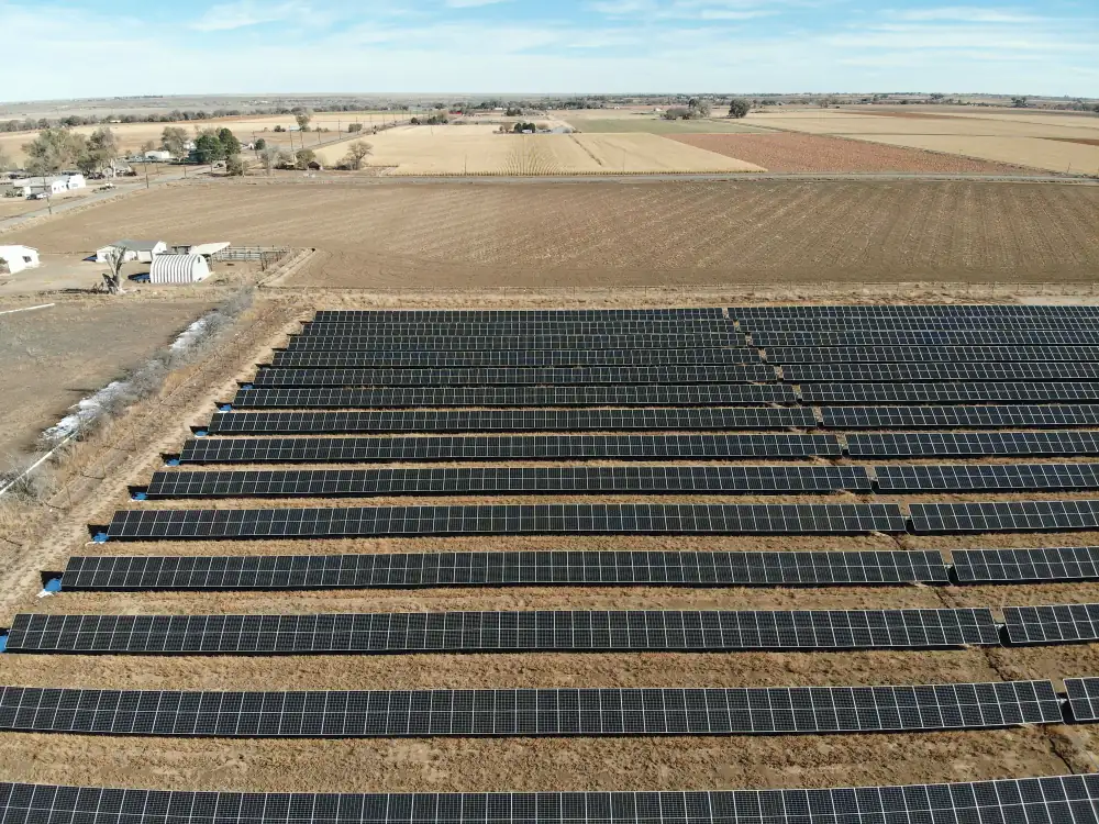
Thermal and RGB imagery for solar arrays when conditions allow.
Organized image exports for contractors, facility teams, and specialists.
Gallery
Thermal imagery is most useful when paired with visual references and reviewed by the right specialist.
Thermal Workflow
Capture conditions, time of day, and surface material all affect the usefulness of thermal imagery.
Workflow
Before scheduling, we review the target, time of day, weather, surface material, access, and how the imagery will be interpreted.
Thermal drone capture can support documentation, but final diagnosis should come from qualified inspection, roofing, energy, or engineering professionals.
The imagery can reveal patterns and support review, but it should be interpreted in context by qualified specialists.
Why Alpine Aerial Photography
You get careful flight planning, Colorado field experience, and organized visual deliverables that make infrastructure information easier to review and share.
High-resolution aerial infrastructure documentation
LiDAR, photogrammetry, orthomosaic maps, and 3D models
Thermal support where appropriate
GIS-ready data organization
Repeatable progress and before-after records
Clear limits around survey and engineering work
FAQ
Thermal imagery can support inspection workflows, but final interpretation may require qualified specialists depending on the application.
A typical scope can include thermal image capture, matching visual reference photos, route documentation, and organized files for review.
Thermal imagery can support roof reviews, solar inspections, building envelope screening, infrastructure documentation, and follow-up review by specialists.
Timing depends on the target and conditions. Weather, sun exposure, surface materials, moisture, and temperature differences can all affect useful thermal capture.
Thermal imagery cannot confirm the cause of an anomaly by itself. It can show temperature patterns that may warrant follow-up, but moisture, electrical, roofing, solar, or building conclusions should be made by qualified professionals.
Yes. Thermal drone imagery can support solar panel screening, roof reviews, building envelope documentation, and infrastructure observations when conditions create useful temperature contrast.
Alpine Aerial Photography provides imagery and documentation. Final diagnosis, engineering conclusions, or repair recommendations should come from qualified professionals.
Send the location, target asset, review goal, preferred timing, and who will interpret the imagery.
Start a Project
Tell us what needs to be reviewed, who will interpret the imagery, and what deliverables you need.