VACANT LAND MEDIA
Vacant Land Photography, Drone Photos & Listing Video in Colorado
Aerial photography, land video, and marketing visuals that help buyers understand acreage, access, terrain, views, boundaries, nearby features, and development potential.
Colorado land listing media
Land media that shows the full property story
Vacant land can be hard to understand from the ground. Strong aerial media helps buyers see the shape of the parcel, access roads, terrain, views, nearby development, open space, and the surrounding context that makes the property valuable.
Request Land Media01
Show the land clearly
Drone photos help show acreage, terrain, access, views, tree cover, open areas, roads, and the surrounding property context.
02
Help buyers understand location
Aerial media can show nearby roads, neighborhoods, open space, utilities, landmarks, mountain views, and other important location features.
03
Support land listings
Photos and videos can support MLS, land listing platforms, property websites, social media, email campaigns, and broker marketing.
04
Plan around the parcel
Each shoot is planned around access, sun direction, topography, weather, airspace, boundaries, and the features buyers need to see.
VACANT LAND SERVICES
Media for acreage, lots, rural property, and development land
Use drone photography, ground photos, video, and location-focused visuals to show the land, access, surrounding context, and property features buyers care about.
Media
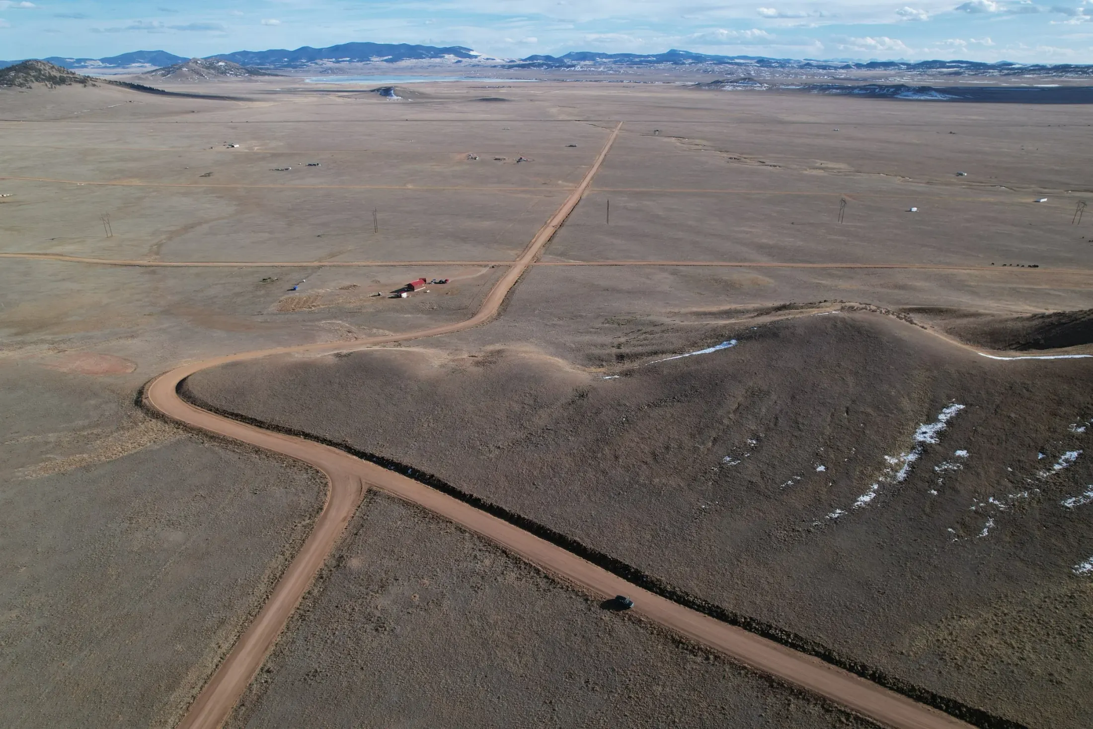
Land Drone Photos & Video
Aerial media for acreage, parcels, access roads, open areas, views, terrain, tree cover, and surrounding context.
Media
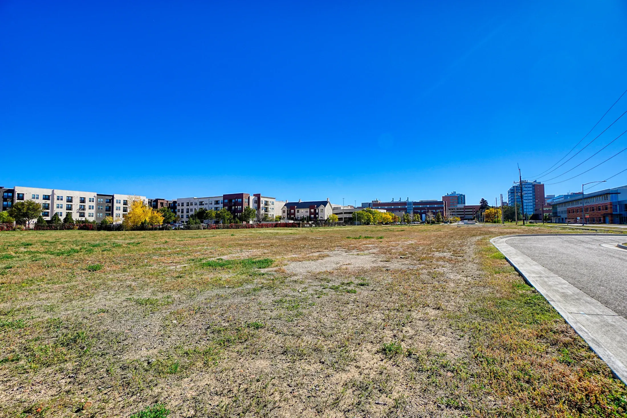
Ground Photos & Detail Images
Ground-level images for access points, gates, roads, views, vegetation, terrain, utilities, signs, and important property features.
Media
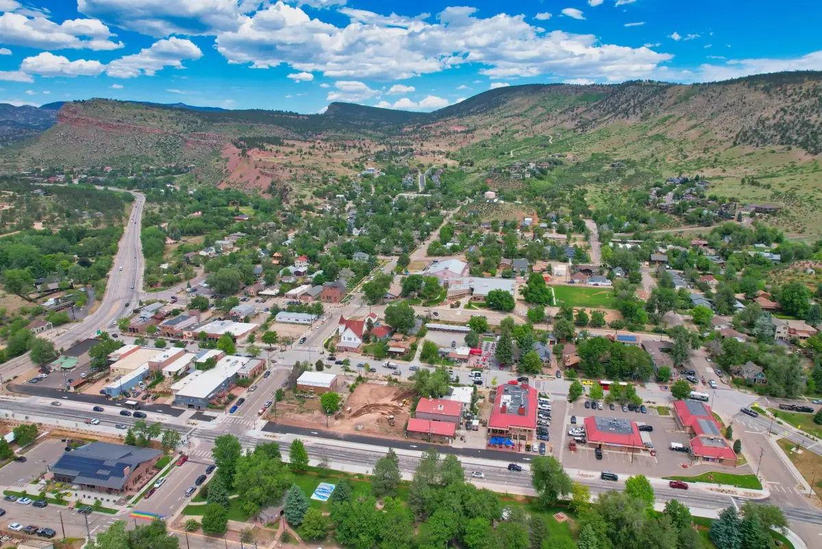
Location & Context Media
Photos and video that help show nearby roads, open space, neighborhoods, landmarks, trails, views, and development context.
Available add-on
Annotated Maps or Boundary Visuals
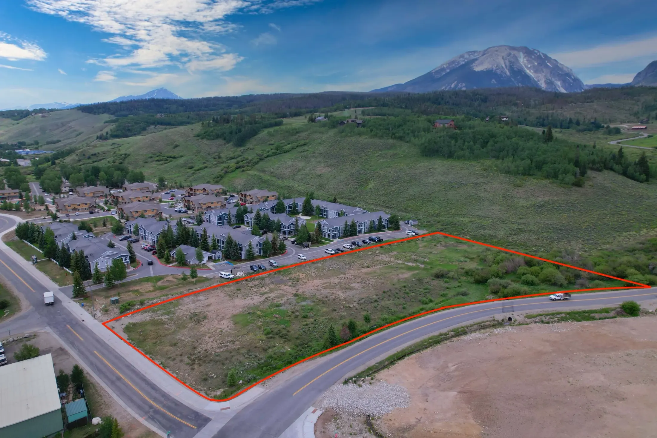
When appropriate, add simple visual references, maps, or boundary-style context graphics to help viewers understand the property layout. These visuals are not survey-grade unless based on licensed survey data or work from a licensed surveyor.
Available add-on
Land Listing Video Add-On
Add aerial land video, access route clips, views, nearby roads, and surrounding context for stronger listing media.
Learn about drone videographyLAND GALLERY
Vacant land photography examples
A mix of aerial, ground, video, and location-context visuals for Colorado land listings, acreage, and development parcels.
Process
How a vacant land media shoot works
Step 1
Send the parcel details
Address, parcel information, access notes, listing goals, must-have views, preferred shoot date, and final deliverables.
Step 2
Plan the coverage
Access points, airspace, terrain, sun direction, weather, nearby roads, approximate property context, and important features are reviewed before the shoot.
Step 3
Capture the land
Aerial photos, drone video, ground details, access points, views, and surrounding context are captured based on the listing needs.
Step 4
Receive listing-ready files
Final media is organized for MLS, land listing platforms, property websites, social media, email campaigns, and broker presentations.
Boundary-style visuals can help communicate approximate property context, but Alpine Aerial Photography does not provide survey-grade boundary mapping unless working with licensed survey data or a licensed surveyor.
Best for land listings like:
- Vacant residential lots
- Acreage and rural properties
- Mountain land and foothills parcels
- Development sites and buildable lots
- Properties where access, terrain, or views matter
- Land listings that need aerial context to help buyers understand the parcel
FAQ
Common questions
Why is drone photography useful for vacant land?
Drone photography helps buyers understand the size, shape, access, terrain, views, tree cover, open areas, and surrounding context of a land listing in a way ground photos often cannot.
Do you provide ground photos for land listings too?
Yes. Vacant land shoots can include ground-level photos of access points, roads, gates, signs, views, terrain, vegetation, utilities, and important property features.
Can you show property boundaries?
Alpine Aerial Photography can help create visual context when boundary information is provided, but visuals are not survey-grade unless based on licensed survey data or work from a licensed surveyor.
Can you create video for vacant land listings?
Yes. Land listing video can include drone footage, ground clips, views, access points, nearby roads, and location context to help buyers understand the property.
What information do you need before a land shoot?
Helpful details include the property address or parcel location, access instructions, listing goals, known boundaries or parcel references, important features, preferred angles, and final deliverables.
Can you photograph rural or mountain land?
Yes. Alpine Aerial Photography can capture rural land, mountain properties, foothills parcels, acreage, and remote lots when access, weather, airspace, and safety conditions allow.
Can drone media help show access roads and nearby features?
Yes. Aerial media is especially useful for showing roads, driveways, trails, nearby development, open space, landmarks, views, and other features that affect buyer interest.
What areas do you service?
Alpine Aerial Photography works with land agents, brokers, owners, and developers across Boulder, Denver, Longmont, Golden, Broomfield, Fort Collins, Aurora, Castle Rock, and surrounding Front Range communities.
Start a Project
Ready to Market Your Land Listing?
Send the parcel location, access notes, timeline, and media needs. I'll help plan the right mix of drone photos, land video, ground images, and location context for the listing.