Alpine Aerial Photography

Denver Metro Service Area

Denver Drone Photography, Video Production & Real Estate Media

Real estate photography, drone video production, construction progress documentation, aerial photography, mapping imagery, and inspection media for Denver, Denver Metro, and nearby Colorado communities.

Local focus

Drone Photography and Video Services in Denver, Colorado

Denver projects usually need clear visuals that show the property, setting, and next step without overcomplicating the shoot. Alpine Aerial Photography supports commercial production, construction progress, real estate development, corporate, event, and infrastructure media around RiNo, LoDo, Cherry Creek and nearby areas like Aurora, Lakewood, Westminster, with planning shaped by access, weather, airspace, and how the media will be used.

For Denver projects, the goal is simple: capture useful photos, video, or aerial data that fits the site and the way you plan to use it.

Most Denver shoots include real estate media, video production, construction documentation, or mapping support, depending on what the project actually needs.
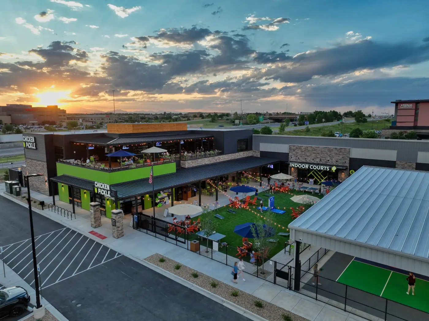
Services available

Real Estate, Video, and Construction Media in Denver

From listing photos and drone video to construction updates, Alpine Aerial Photography provides practical aerial and ground media for projects across Denver and nearby areas.

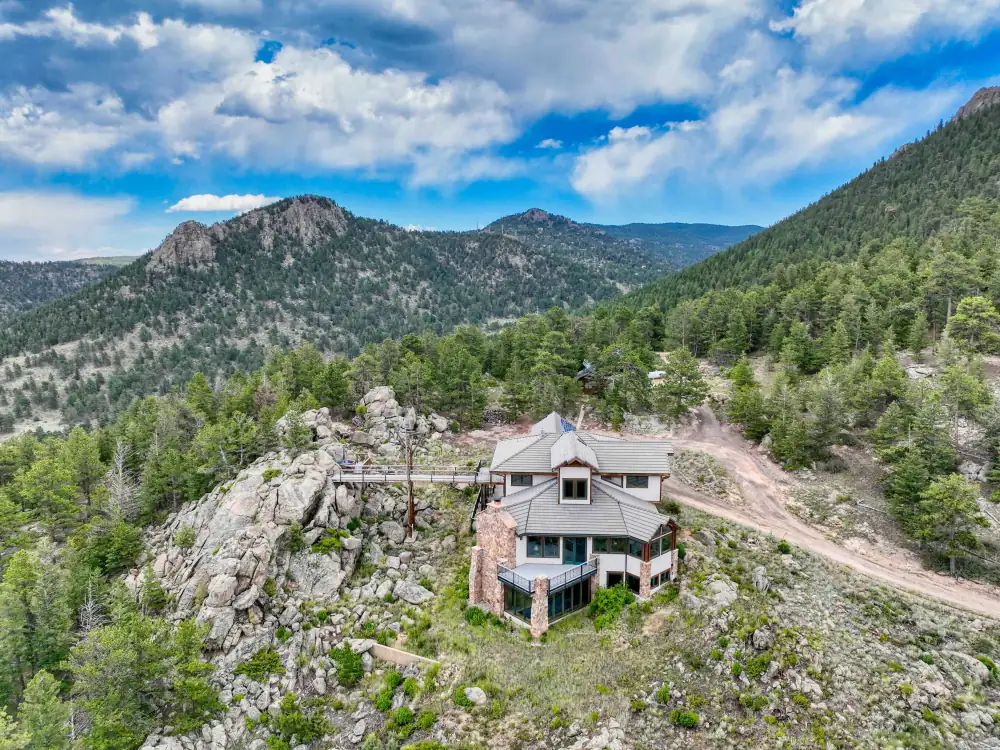
Real estate photography and drone media for Denver listings

Real Estate Media in Denver

Listing photography, drone photos, real estate video, and property context are available for Denver homes, commercial spaces, multi-family properties, and vacant land. Shoots are planned around the listing story, access, sun angle, and final marketing use.

Explore real estate media
Drone video and ground video production for Denver projects

Drone Video and Full Video Production

Video production in Denver can combine drone video, ground footage, interviews, b-roll, edits, event coverage, brand stories, corporate video, and web or social delivery.

View video production
Construction progress drone photography for Denver jobsite documentation

Construction Progress Documentation

Construction teams can use aerial progress photos, site updates, access and staging documentation, milestone coverage, repeat visits, and short video updates for Denver projects.

See construction services

Additional capabilities

Mapping, Inspection, and Aerial Data Support for Denver

These services are available when they fit the project, but they support the main media work instead of turning the page into a surveying service page.

Mapping, Orthomosaics & Inspections

Orthomosaic maps, site overview imagery, roof and infrastructure visuals, and aerial data collection for planning, records, and project communication.

Learn about mapping, orthomosaics & inspections

Thermal, LiDAR & 3D Model Support

Thermal capability, LiDAR-adjacent capture, 3D models, and inspection imagery are available when the site conditions and deliverable goals fit the scope.

Learn about thermal, lidar & 3d model support

GIS-Ready Aerial Deliverables

GIS-ready files and aerial data products can support documentation and planning workflows. Alpine Aerial Photography does not present these as licensed survey-grade deliverables unless a licensed surveyor is involved.

Learn about gis-ready aerial deliverables

Local gallery

Denver Project Gallery

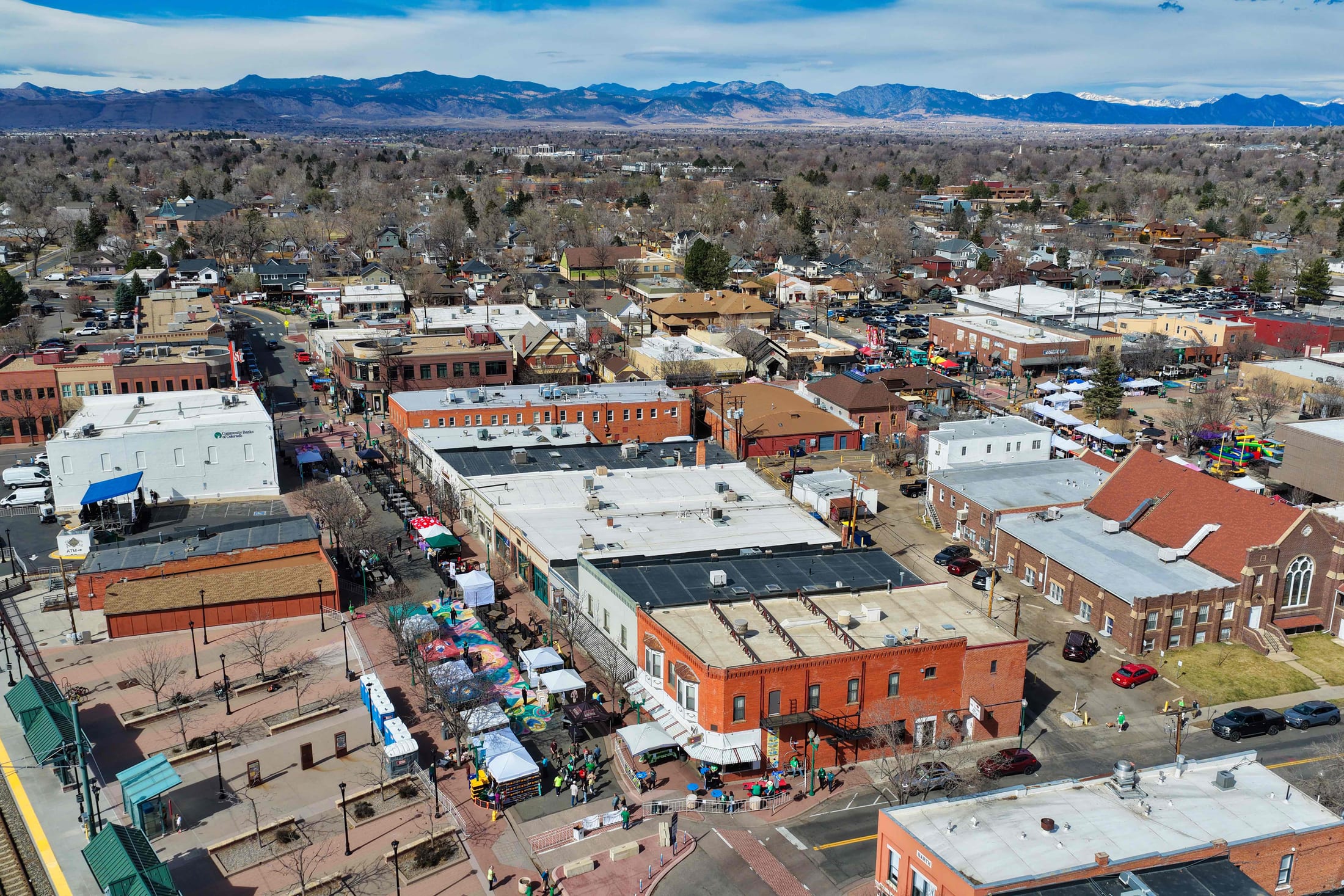
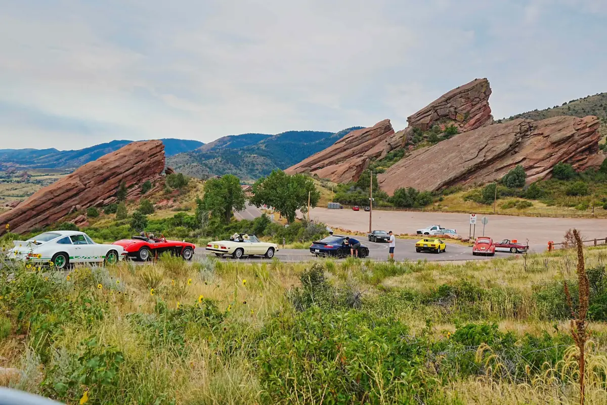
A mix of local or regional aerial photography, real estate media, construction documentation, mapping imagery, and video production visuals relevant to Denver-area projects.

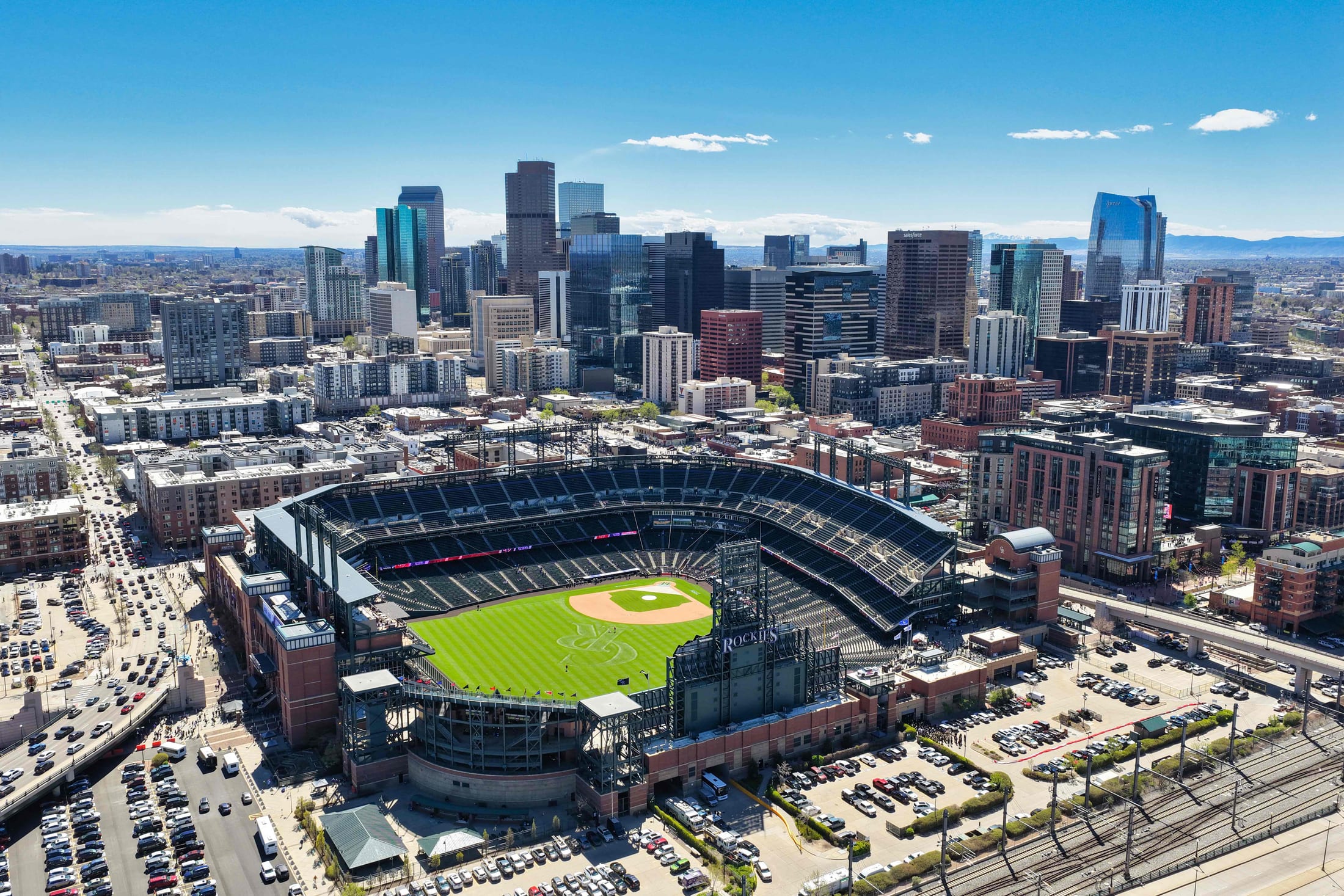
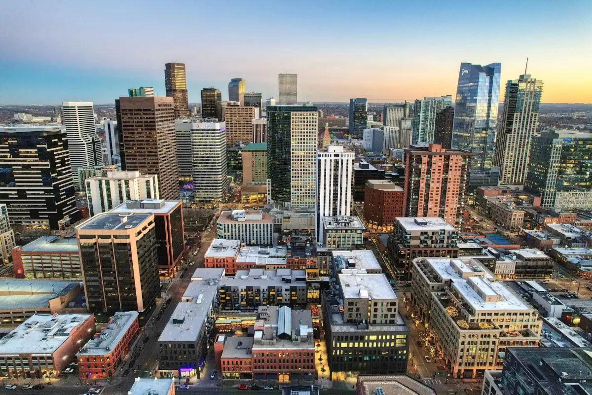
Downtown Denver aerial drone photo near Coors Field
Denver aerial context
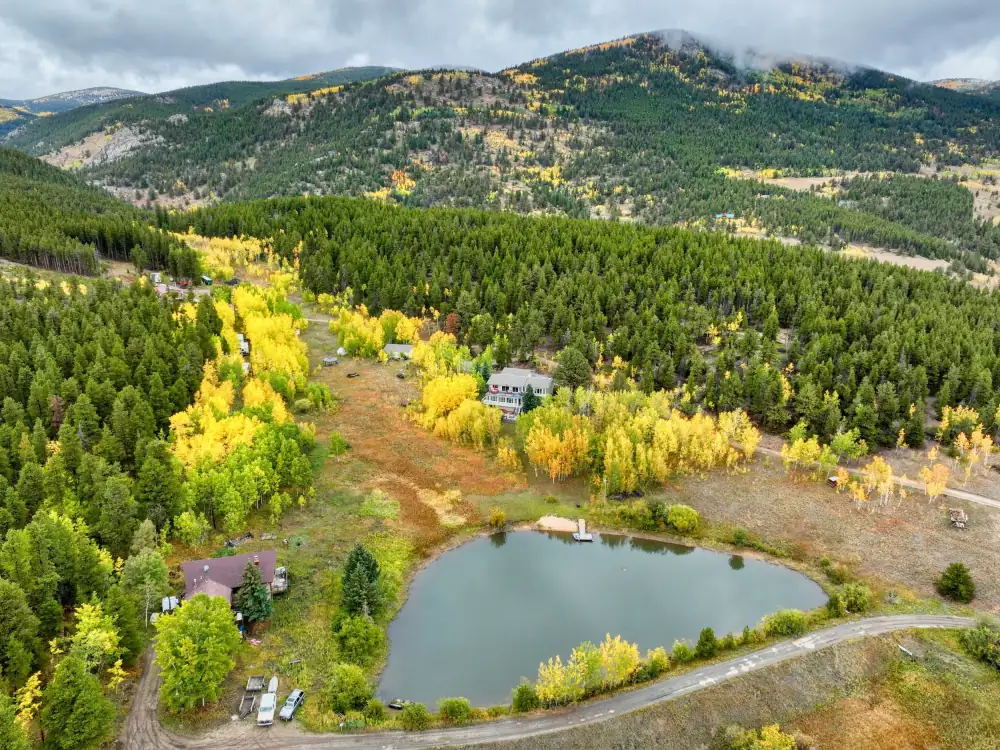
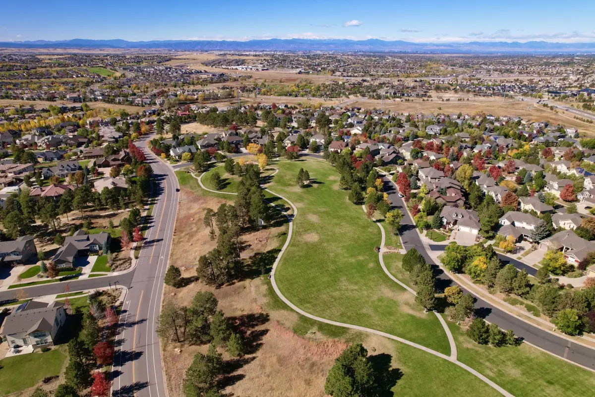
Regional real estate drone photography example for Denver property marketing
Real estate media
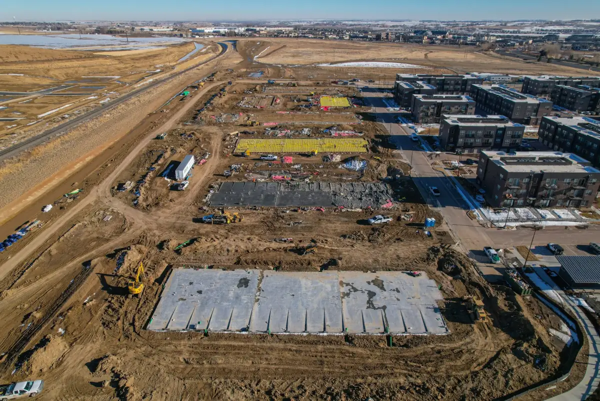
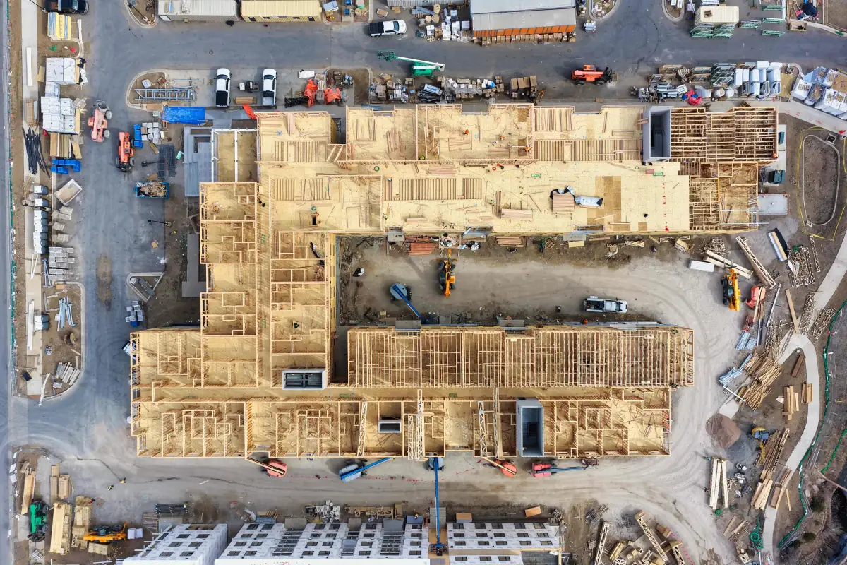
Construction progress drone photography example for Denver project documentation
Construction progress
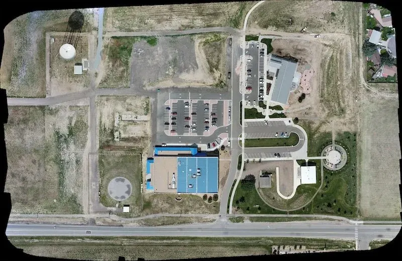
Drone mapping and orthomosaic imagery for Denver site planning and documentation
Mapping imagery
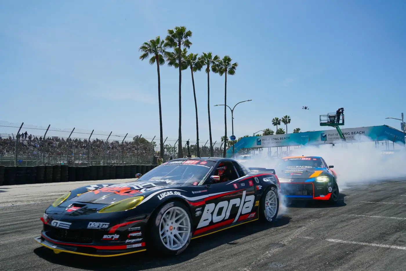
Drone and ground video production example for Denver brand and event media
Video production
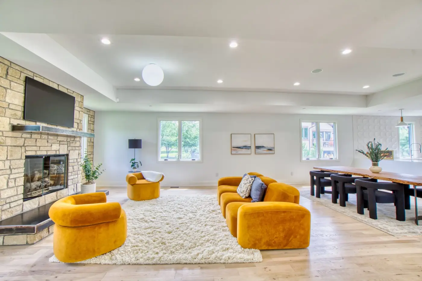
Interior real estate photography example for Denver listing media
Interior listing photography
Commercial real estate marketing photography example for Denver properties
Commercial property media
Drone construction mapping and progress imagery for Denver project documentation
Construction mapping
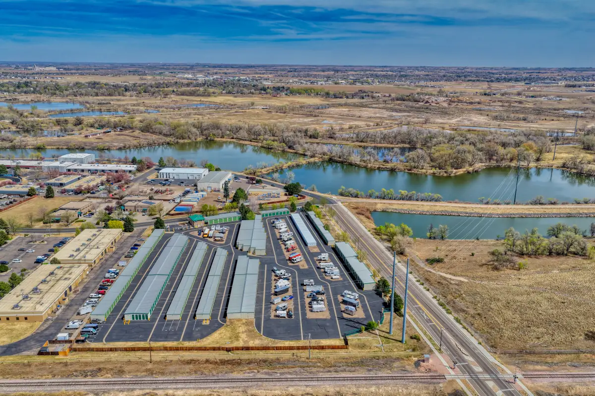
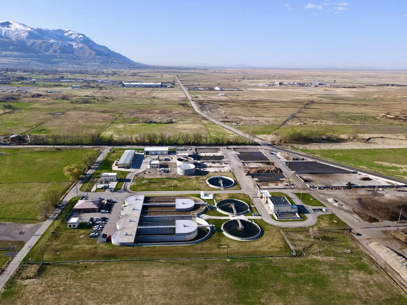
Infrastructure drone inspection imagery example for Denver aerial documentation
Infrastructure inspection

Video production

Denver Drone Video and Full Video Production

Drone video, ground footage, interviews, edits, events, brand videos, corporate video, real estate video, and construction updates can be planned for Denver projects and delivered for web, social, stakeholders, or marketing.

Video

Denver video production

Drone and ground video can support real estate, construction, event, brand, corporate, and local business projects in the area.

Local proof

Local Aerial Media Experience in Denver

Denver projects often require a mix of clean visuals, local planning, and flexible production. These are common ways aerial and ground media can support real estate, construction, land, commercial, and brand projects in the area.

  • Residential real estate visuals in neighborhoods such as RiNo and LoDo.
  • Construction progress tracking and site overview media near Downtown Denver or major local corridors.
  • Land, commercial property, and development visuals for projects serving Aurora and surrounding communities.
  • Drone and ground video for local businesses, events, branded content, and project recaps in Denver.

FAQ

Common Denver Drone Service Questions

Does Alpine Aerial Photography serve Denver?

Yes. Alpine Aerial Photography provides real estate photography, drone video, construction progress media, aerial photography, mapping imagery, inspections, and video production in Denver and nearby Colorado communities.

Can you create real estate photography and video in Denver?

Yes. Real estate media in Denver can include listing photos, drone photos, short property videos, ground video, exterior context, neighborhood views, and media for residential, commercial, multi-family, and vacant land listings.

Do you provide drone video or full video production in Denver?

Yes. Drone video can be delivered as standalone footage or combined with ground video, interviews, b-roll, editing, event coverage, brand videos, corporate video, and web or social-ready exports.

Do you provide construction progress documentation in Denver?

Yes. Construction progress photography and video can be scheduled for Denver sites as one-time milestone coverage or recurring documentation for progress updates, access, staging, site conditions, and stakeholder communication.

What deliverables do clients usually receive?

Deliverables depend on the scope, but common options include edited photos, aerial images, short video edits, raw or selected footage, construction progress galleries, social clips, web-ready files, orthomosaic images, 3D model outputs, or GIS-ready files.

Can you create maps, orthomosaics, or 3D models in Denver?

Yes. Mapping, orthomosaics, aerial data collection, 3D models, and GIS-ready deliverables are available when site conditions and project requirements support the scope. These are practical visual and data deliverables, not licensed survey-grade work unless a licensed surveyor is part of the project.

How do I schedule a Denver drone or video shoot?

Send the project location, timing, deliverables, site access notes, and any real estate, construction, or video goals. Alpine Aerial Photography will review weather, airspace, permissions, safety, and scheduling before confirming the shoot.

Start a Project

Need drone or video services in Denver?

Tell us what you're planning in Denver and we'll help recommend the right photography, video, mapping, or inspection approach.

Quick quote request

Fields marked with are required.

For larger scopes, the full contact form is still available on the Contact page.