01
Recurring monthly, biweekly, weekly, or milestone-based construction progress photography
Boulder jobsite documentation
Recurring aerial photos, ground images, short progress video, and organized construction documentation for Boulder jobsites and project teams.
Local service
Boulder construction projects often need clear visual records for owners, developers, architects, project managers, and marketing teams. Progress photography helps everyone see what changed on site without relying only on written updates or ground snapshots.
Alpine Aerial Photography supports Boulder construction documentation around Downtown Boulder, North Boulder, Gunbarrel, Table Mesa, Chautauqua, CU Boulder, Foothills Parkway, and nearby communities such as Louisville, Lafayette, Superior, and Nederland.
This page connects the local market with the broader Colorado Construction Progress Photography service. You can also review Boulder drone photography and aerial services for general local coverage.
Capabilities
01
Recurring monthly, biweekly, weekly, or milestone-based construction progress photography
02
Repeatable aerial viewpoints for clearer month-to-month comparisons
03
Ground and aerial jobsite photography for access, staging, phases, and site conditions
04
Short construction progress video clips for reporting, web updates, and marketing
05
Aerial mapping or orthomosaic coordination when the scope supports it, without presenting standard photo work as survey-grade data
Local context
Boulder jobsites can involve foothills terrain, dense neighborhoods, university-adjacent areas, active corridors, nearby open space, and changing weather. Each shoot is planned around access, safety, airspace, site activity, and the deliverables the project team actually needs.
Gallery
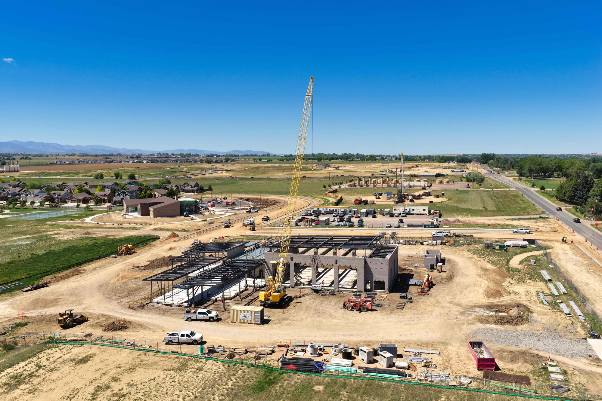
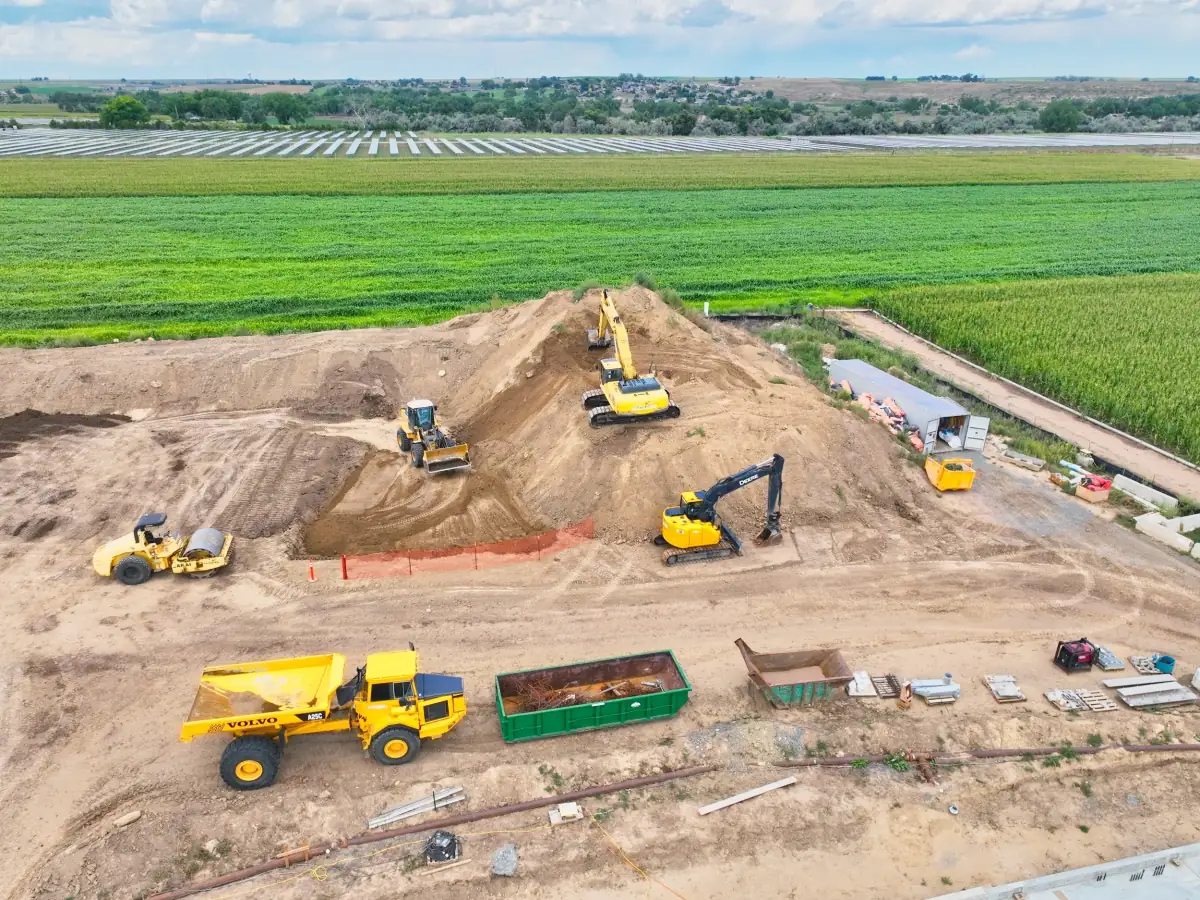
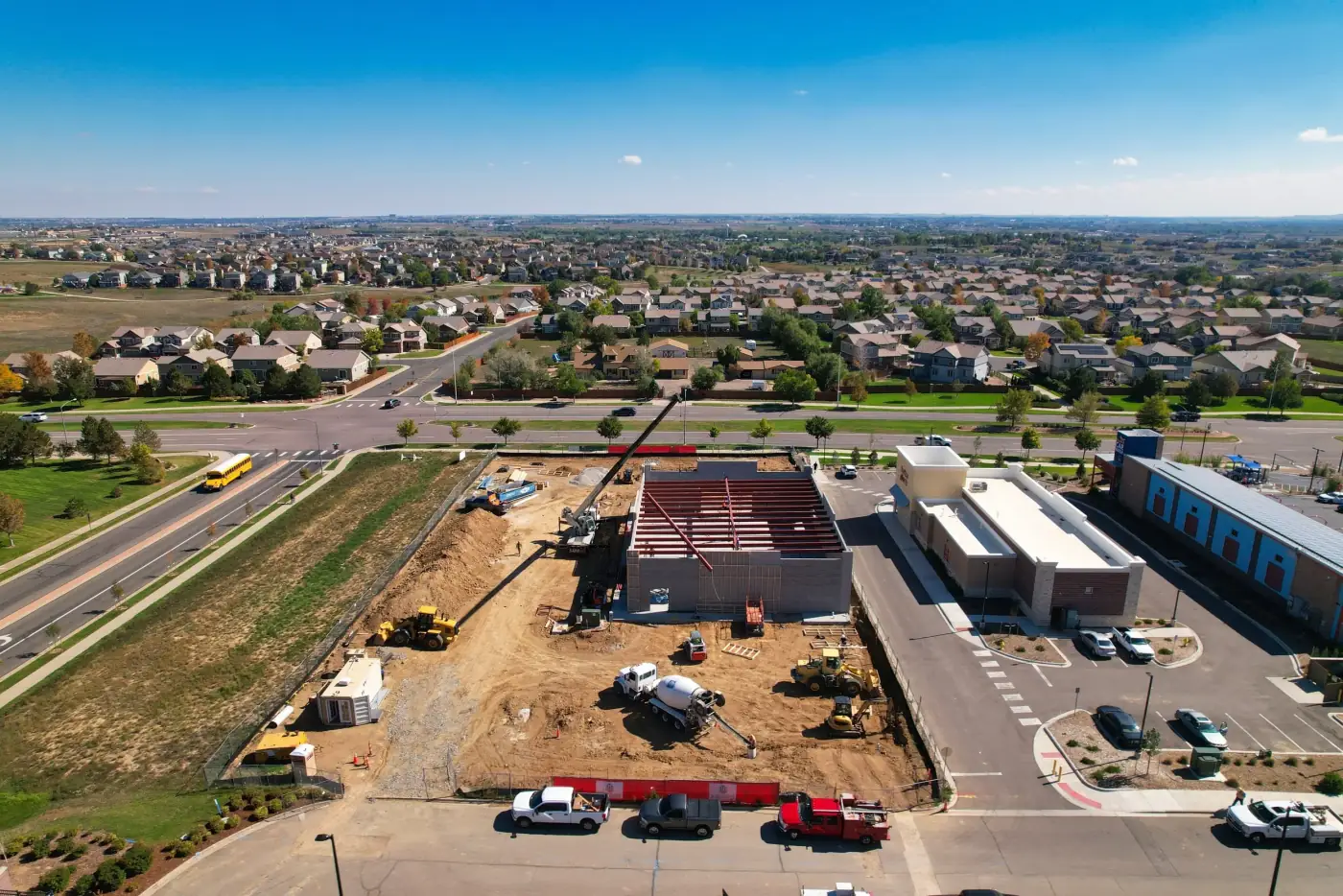
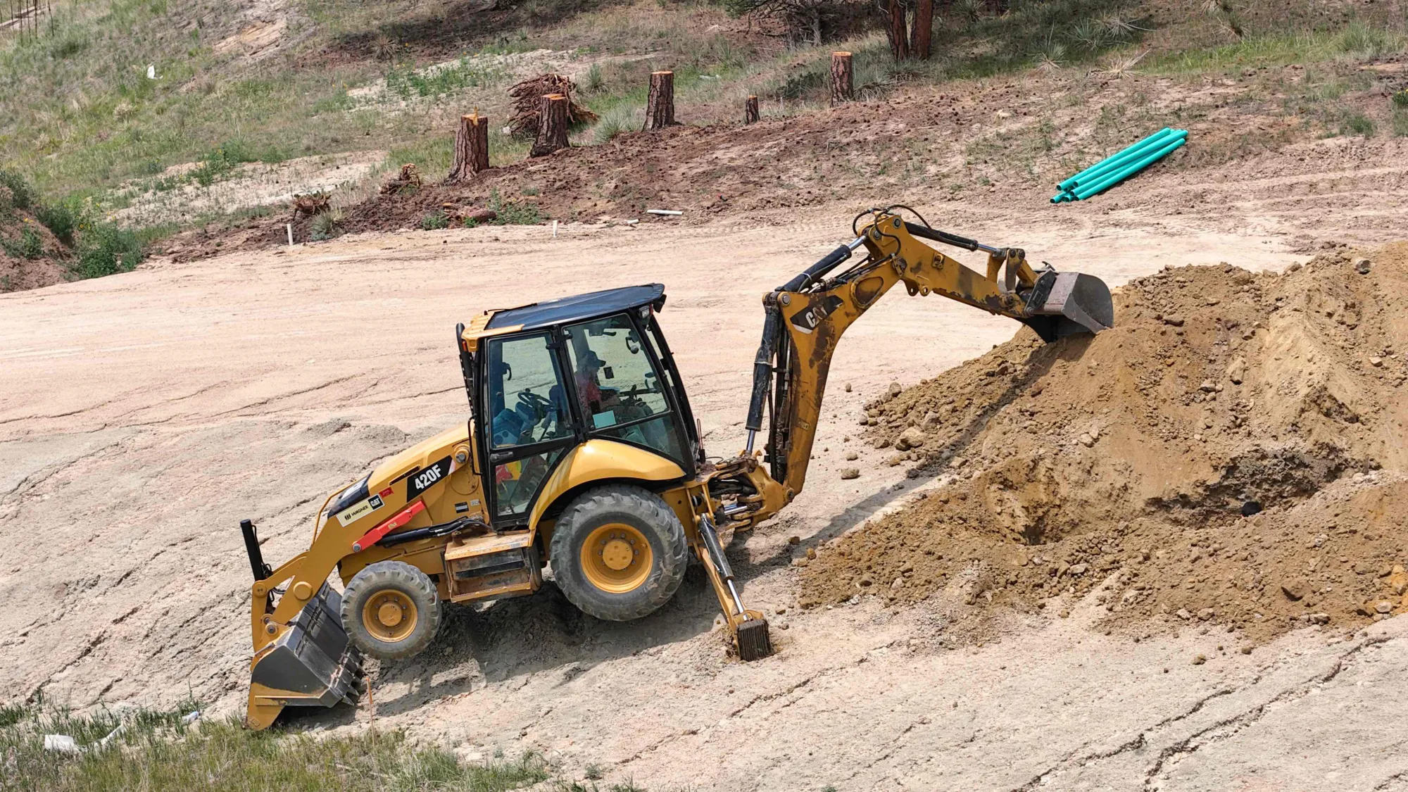
Existing Alpine Aerial construction, mapping, and jobsite documentation images relevant to Boulder and Front Range project teams.
Use cases
FAQ
Most projects use monthly, biweekly, weekly, or milestone-based schedules. The best frequency depends on construction pace, reporting needs, and how often owners, investors, or project managers need visual updates.
Yes. For recurring documentation, preferred aerial angles can be repeated so progress is easier to compare over time. Exact positioning may vary because of weather, airspace, site activity, and safety conditions.
Yes. A site visit can include wide aerial views, ground photos, detail images, short progress video clips, and organized delivery folders depending on the scope.
Yes. Edited construction photos and short video clips can support owner updates, investor reporting, project meetings, web updates, marketing, and internal documentation.
Yes. Short progress video clips can be captured during a site visit and delivered as standalone updates or combined into project recap edits.
Aerial site documentation, orthomosaic imagery, and mapping coordination may be available when they fit the scope. Standard construction progress photography is not survey-grade mapping by default. If survey-grade data is needed, Alpine Aerial Photography can coordinate with your surveyor or qualified mapping professional.
Alpine Aerial Photography serves Boulder and nearby communities including Louisville, Lafayette, Superior, Nederland, Golden, Longmont, and nearby Boulder County communities.
Start a Project
Send the site location, schedule, access notes, and reporting needs. Alpine Aerial Photography will help scope recurring photo, video, and aerial documentation.