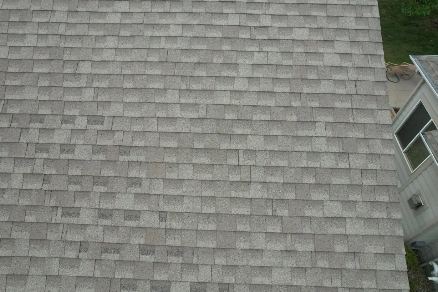
Residential Roofs
High-resolution roof condition documentation for homes, rentals, listings, and post-storm visual records.
Inspections
High-resolution drone roof photos, thermal roof imagery, roof maps, and organized documentation for Colorado residential, commercial, and real estate properties.
Roof Inspections
Drone roof inspections help property owners, contractors, facility teams, real estate teams, and maintenance planners document roofs more safely without unnecessary ladder access.
Alpine Aerial Photography captures high-resolution aerial roof photography, close visual roof documentation, oblique and top-down imagery, thermal roof inspection media where conditions are appropriate, roof maps, 3D roof models where useful, and organized files for qualified review.
Services
Useful for residential roof inspection support, commercial roof documentation, maintenance planning, contractor reference, property records, real estate due diligence, and insurance documentation workflows.
High-resolution roof condition documentation for homes, rentals, listings, and post-storm visual records.
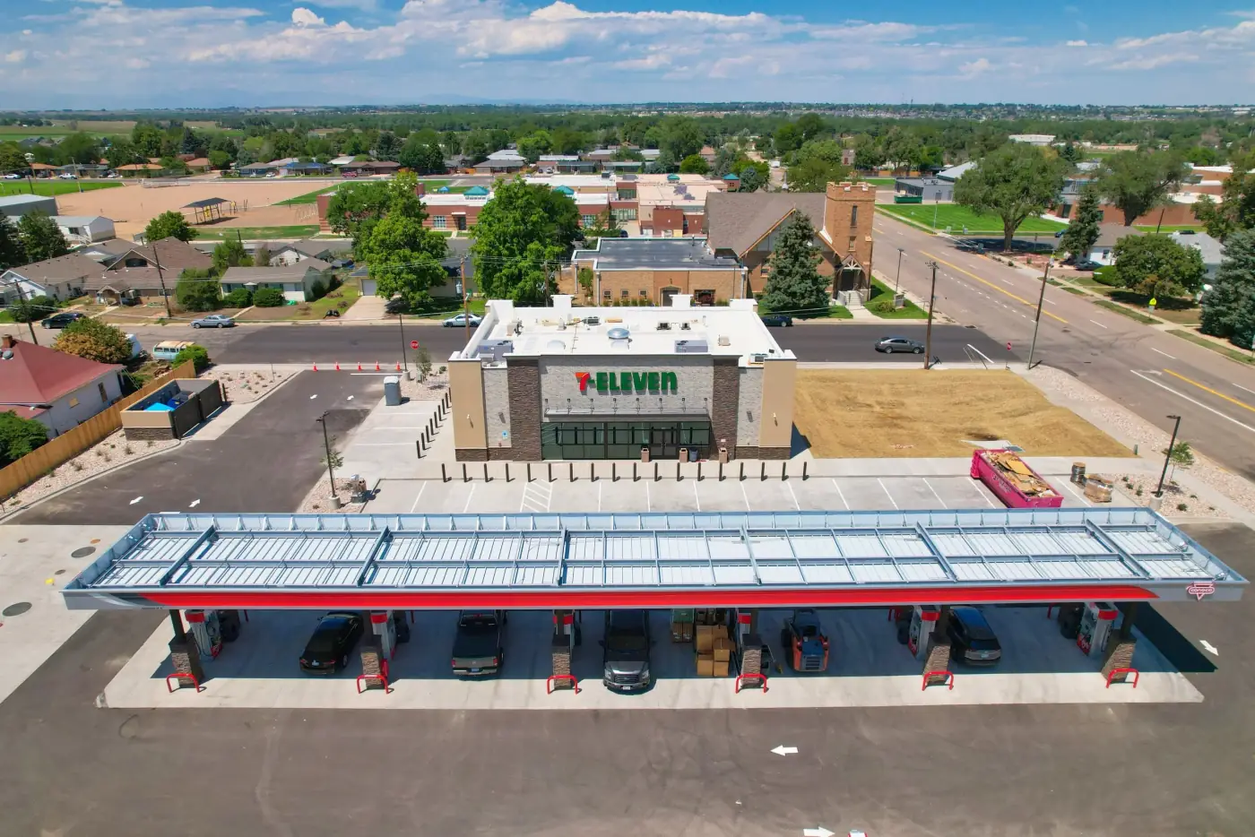
Documentation support for flat roofs, warehouses, multifamily buildings, offices, and facility teams.
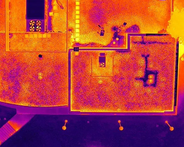
Thermal capture for possible moisture, insulation, heat, or drainage anomalies when conditions support it.
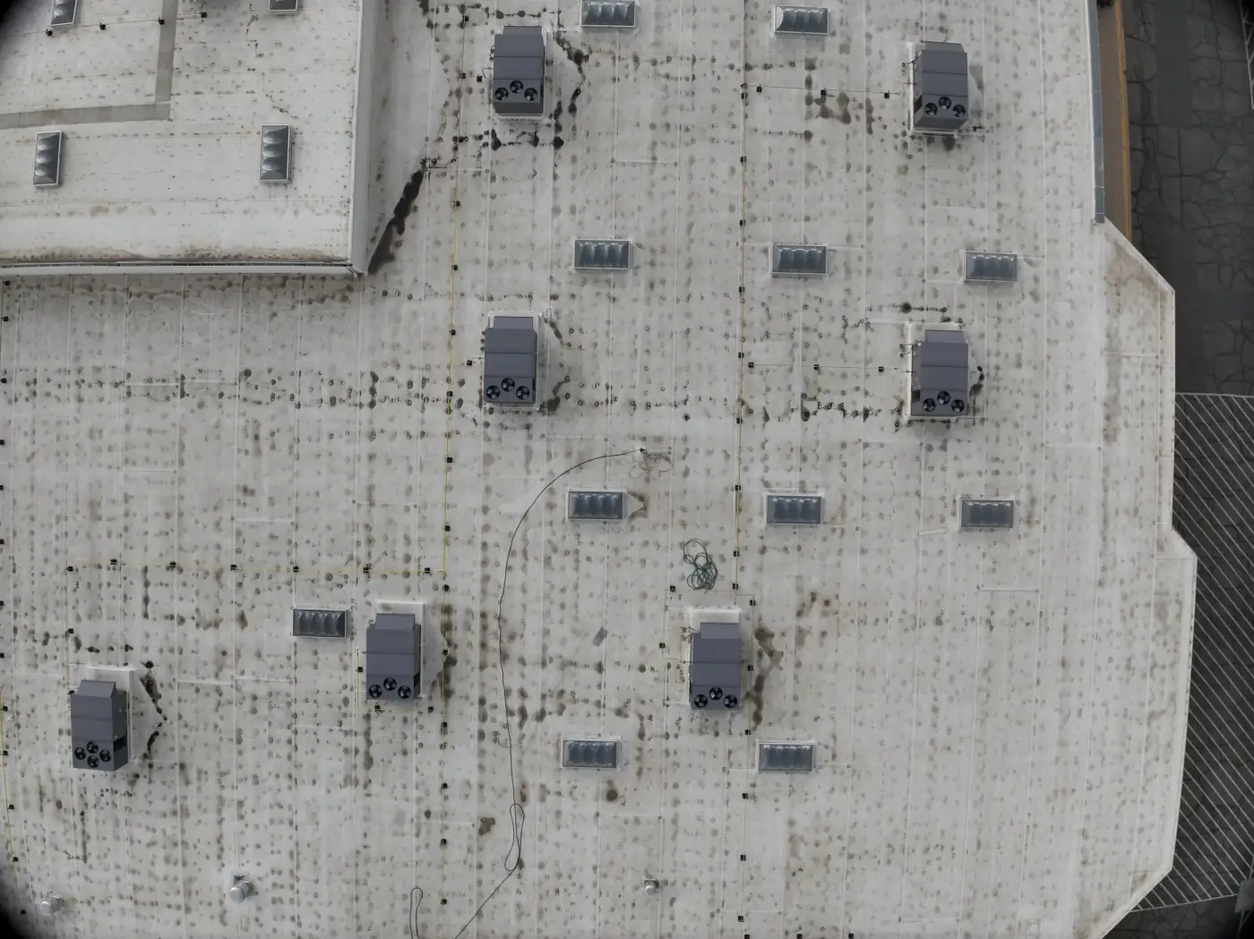
Top-down imagery, orthomosaic roof maps, and 3D roof models where useful for planning and review.
Gallery
Roof documentation can combine overview photos, close reference angles, commercial roof context, residential roof details, roof mapping, video documentation, and thermal imagery when conditions support it.
Roof Documentation
Image sets can be organized for owners, contractors, property managers, qualified inspectors, real estate teams, and insurance documentation workflows.
Use Cases
Drone roof inspection services are useful when teams need clear roof condition documentation, safer access, repeatable records, or organized media for review.
Residential roof documentation for homes, rentals, real estate listings, and post-storm records
Commercial roof documentation for warehouses, multifamily buildings, offices, retail centers, and industrial facilities
Aerial roof photography for property owners, contractors, and maintenance teams
Thermal imaging for roofs when conditions support useful temperature patterns
Insurance documentation support with organized roof photos and reference media
Roof mapping and 3D modeling where useful for planning or reporting
Repeatable documentation to compare roof condition over time
Process
The process is built around the roof type, review goals, safety conditions, and the final media your team needs.
Step 1
Share the address, roof type, target areas, access notes, and whether the imagery is for maintenance, real estate, contractor review, insurance documentation, or property records.
Step 2
Review airspace, weather, roof visibility, sun direction, safety considerations, and whether thermal capture may be useful.
Step 3
Collect high-resolution photos, oblique angles, top-down images, video, and thermal imagery where conditions support it.
Step 4
Deliver labeled images, folders, roof maps, 3D models, or map-based image organization when useful for the project.
Workflow
We define the target roof areas, required angles, access constraints, safety considerations, image resolution needs, whether thermal capture is useful, and whether roof mapping, video, or 3D modeling would help the review.
Deliverables can be organized for property managers, contractors, owners, real estate teams, insurance documentation teams, or qualified inspectors to review. Thermal roof imagery depends on weather, timing, surface conditions, and how the imagery will be interpreted.
Alpine Aerial Photography provides visual and thermal documentation, not a formal roof diagnosis. Drone roof photos, thermal imagery, maps, and reports do not replace a licensed roof inspector, engineer, insurance adjuster, or contractor when a formal inspection, claim decision, or repair recommendation is required.
Why Alpine Aerial Photography
You get carefully planned roof capture, high-resolution media, and organized documentation options that make review easier.
Residential and commercial roof documentation
High-resolution roof photos and video
Thermal support where appropriate
Orthomosaic roof maps and 3D models where useful
Clear folders for owners, contractors, property teams, and insurance documentation
Plain-language limits around diagnosis and formal inspection
FAQ
Yes. Residential drone roof inspection media can document roof condition, shingles, flashing areas, gutters, storm-related visual records, and overall roof layout without unnecessary ladder access. Alpine Aerial Photography provides visual documentation for homeowners, contractors, real estate teams, and property managers.
Yes. Commercial drone roof inspection support is useful for large flat roofs, warehouses, multifamily buildings, offices, retail centers, and industrial facilities when airspace, access, weather, and safety conditions allow.
Thermal roof inspection imagery can help reveal potential moisture, insulation, heat, or drainage-related anomalies when conditions are appropriate. Thermal imagery should be reviewed in context by qualified roofing, building, or inspection professionals.
No. Alpine Aerial Photography provides visual and thermal documentation, roof photos, roof maps, and organized inspection media. This does not replace a licensed roof inspector, engineer, insurance adjuster, or contractor when a formal inspection, diagnosis, claim decision, or repair recommendation is required.
Yes. Alpine Aerial Photography can provide high-resolution aerial roof photography, overview images, close reference photos, video documentation, and organized files that support insurance documentation and maintenance planning.
Yes, when useful for the project. Deliverables can include orthomosaic roof maps, roof mapping, 3D roof models, and map-based organization of inspection imagery for planning and documentation.
Start a Project
Send the address, roof type, access notes, target areas, and whether you need thermal imagery, roof mapping, 3D modeling, video, or organized insurance documentation support.