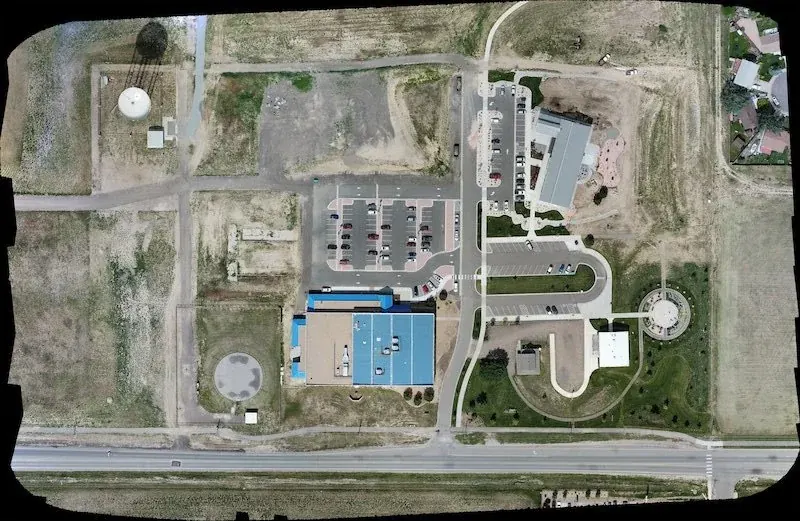
Orthomosaics
High-overhead image maps for site context and progress review.
Mapping
Alpine Aerial provides Colorado drone mapping, orthomosaic imagery, aerial data collection, 3D model support, and GIS-ready deliverables for planning and documentation.
Mapping and Data
Drone mapping uses planned image capture to create useful visual outputs such as orthomosaics, site maps, 3D references, and GIS-friendly exports.
Alpine Aerial Photography supports Colorado construction teams, land planners, engineers, property owners, and inspection partners that need more than standard photos.
Services
Scope the capture around how the data will be reviewed, shared, and used.
High-overhead image maps for site context and progress review.
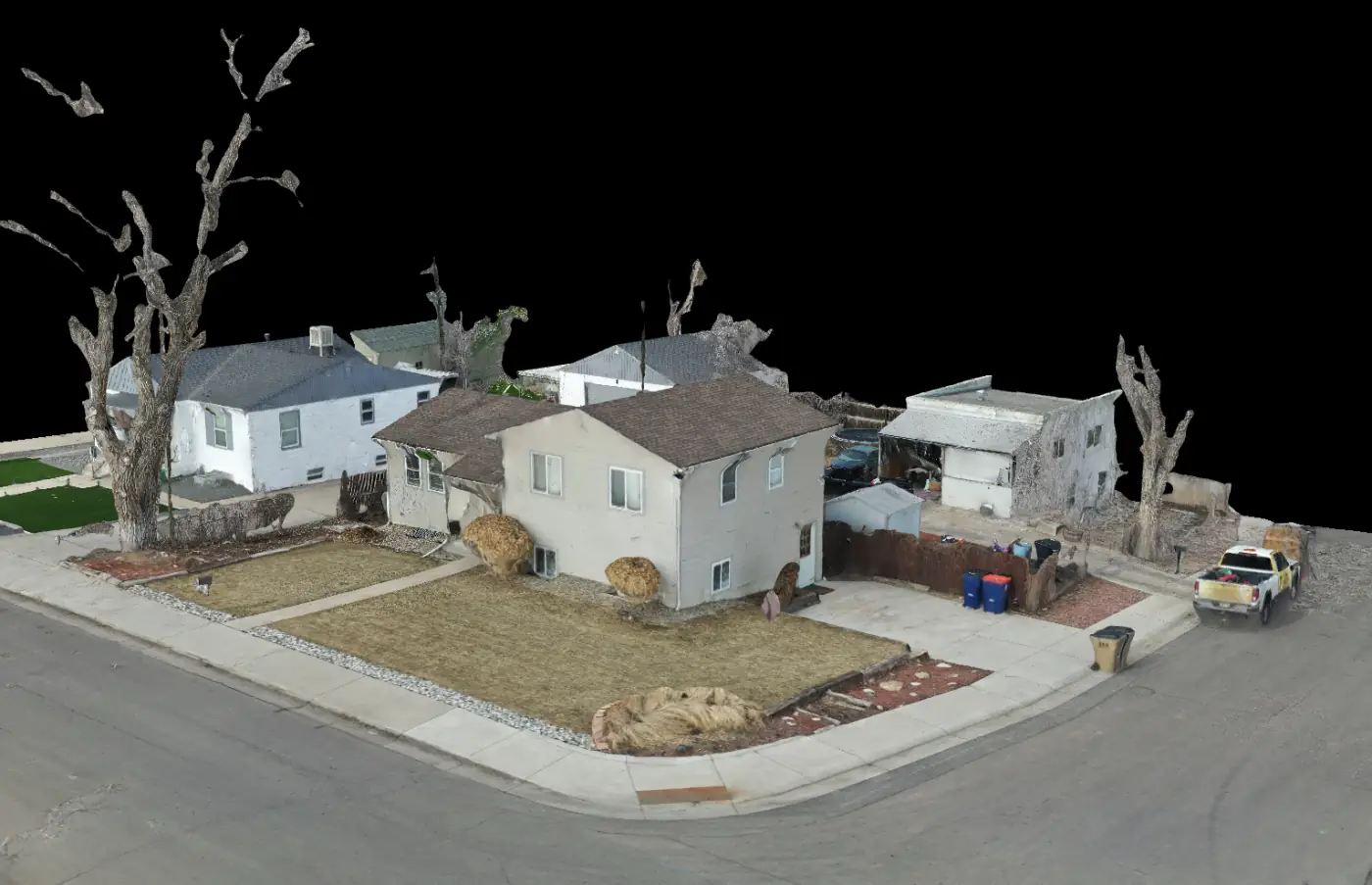
Aerial capture that supports 3D model and site visualization workflows.
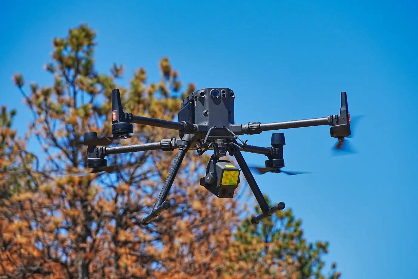
Organized outputs for teams that need mapping reference files.
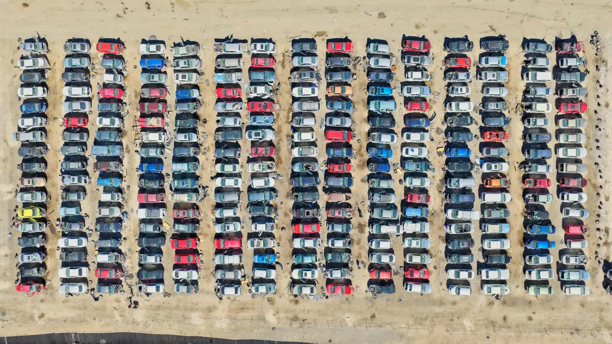
Repeatable aerial views for planning, comparison, and records.
Gallery
Mapping imagery can support planning conversations, progress comparison, access review, and visual records.
Mapping Output
Accuracy expectations, ground control, terrain, and deliverable format should be defined before flight.
Workflow
Before flying, we define the site boundary, accuracy expectations, output format, ground control needs, hazards, and whether a licensed surveyor needs to be involved.
For many projects, the goal is practical visual documentation. When survey-grade measurements are required, the drone capture should be coordinated with qualified professionals.
Alpine Aerial Photography can support mapping capture and documentation, but survey-grade deliverables, boundaries, and measurements may require a licensed surveyor or other qualified specialist.
Why Alpine Aerial Photography
Mapping succeeds when the capture plan matches the review process.
Structured aerial data capture
Orthomosaic and site map support
Construction and inspection documentation experience
Clear limits around survey-grade work
FAQ
No. Mapping uses planned image capture and processing to create measurable site outputs, while photography focuses on visual presentation.
Depending on the scope, deliverables can include orthomosaic imagery, GeoTIFF exports, site maps, aerial data sets, progress comparison assets, GIS-ready files, and 3D reference imagery.
Not by default. Survey-grade boundaries, measurements, or certified deliverables may require a licensed surveyor and proper ground control workflow.
Construction teams, land planners, engineers, developers, property owners, inspection partners, and organizations that need clear overhead site context can use mapping outputs.
Pricing depends on site size, terrain, accuracy expectations, deliverable format, processing needs, travel, and whether ground control or specialist coordination is required.
Mapping support is available across Colorado, including Boulder, Denver, Longmont, Fort Collins, Colorado Springs, and nearby Front Range communities.
LiDAR can be useful when a project needs terrain or structure information that standard photos may not capture well, especially around vegetation, complex surfaces, elevation changes, or technical visualization workflows.
Accuracy depends on flight planning, image overlap, altitude, terrain, camera settings, ground control, processing workflow, and whether a licensed surveyor is involved for survey-grade requirements.
Start a Project
Tell us about the site, acreage, deliverables, and accuracy needs. We'll recommend the right drone mapping, LiDAR, thermal, or GIS workflow.