Drone Mapping & Data Collection
Structured aerial imagery for mapping, documentation, analysis, and repeatable site records.
Industries
GIS drone mapping, photogrammetry, orthomosaics, 3D models, and geospatial visualization for Colorado planning, documentation, and data processing workflows.
GIS and Data Processing
Alpine Aerial Photography helps turn raw drone imagery, LiDAR point clouds, elevation data, and GIS layers into usable maps, models, visuals, and geospatial products for Colorado projects.
GIS, or Geographic Information Systems, is a way of organizing, analyzing, and visualizing location-based data. In simple terms, it connects information to real places, such as parcels, terrain, roads, buildings, vegetation, elevation, drone imagery, LiDAR, and environmental features.
Services
Each workflow is scoped around the project goal, the source data, and how the final deliverables need to be reviewed or shared.
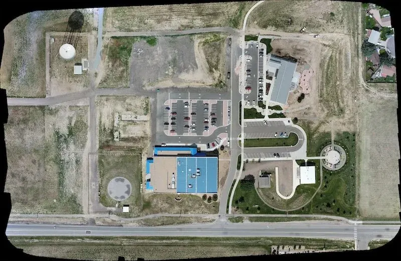
Structured aerial imagery for mapping, documentation, analysis, and repeatable site records.
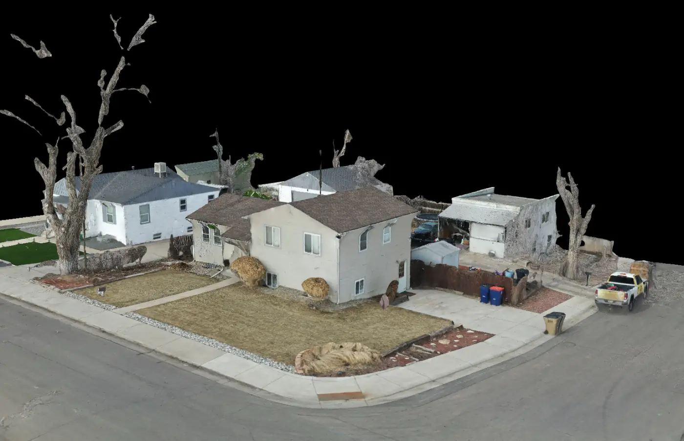
Orthomosaics, 3D models, textured meshes, point clouds, DEMs, DSMs, and site documentation outputs.
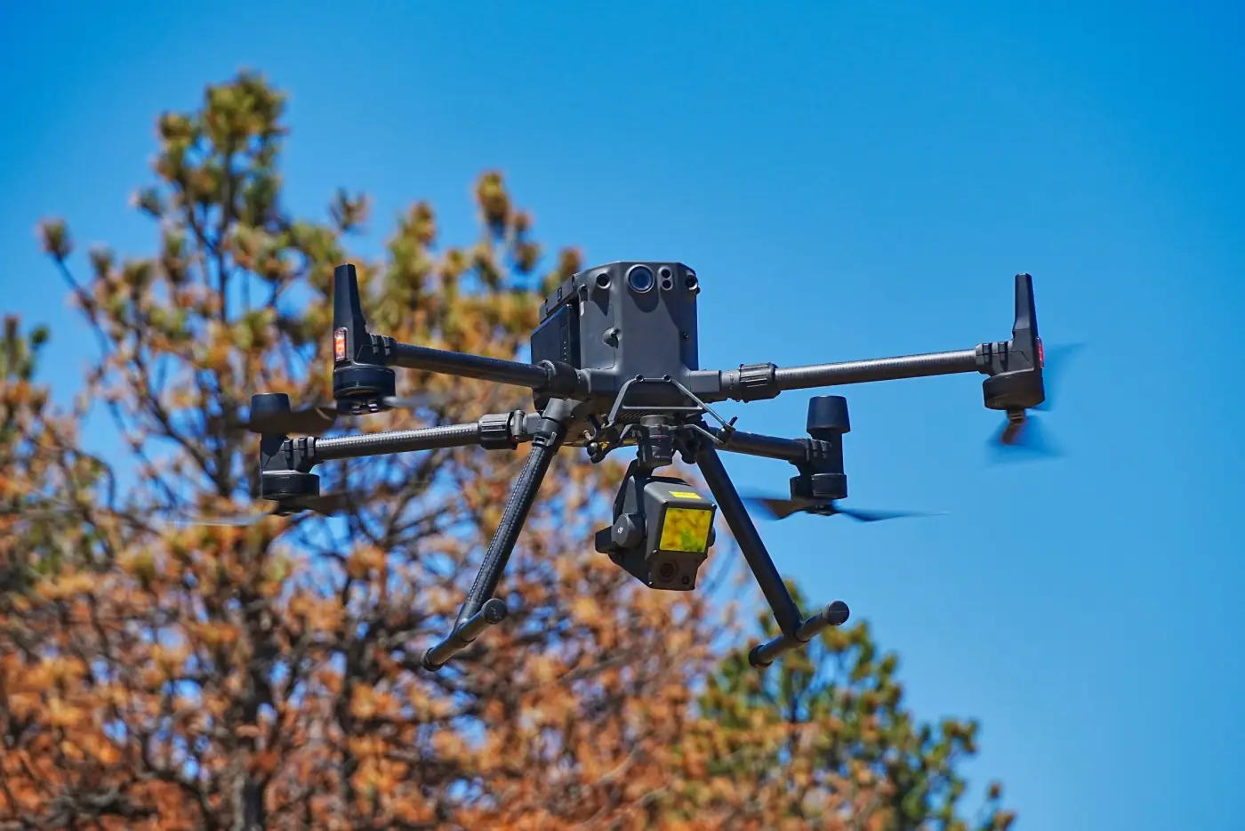
Point cloud organization, terrain models, elevation data, vegetation context, structure context, and site visualization.
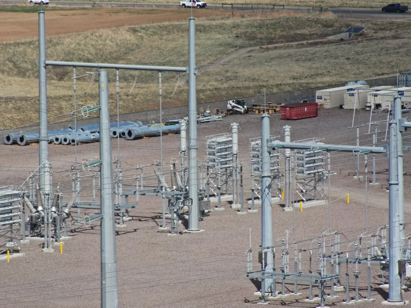
QGIS, ArcGIS, Google Earth Engine, spatial layers, site context maps, slope and elevation analysis, land cover, and custom map outputs.
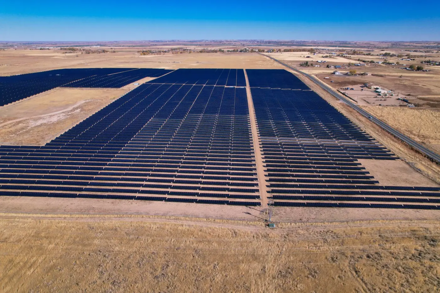
Presentation-ready visuals using GIS data, drone imagery, elevation models, LiDAR, and Blender-based 3D workflows.
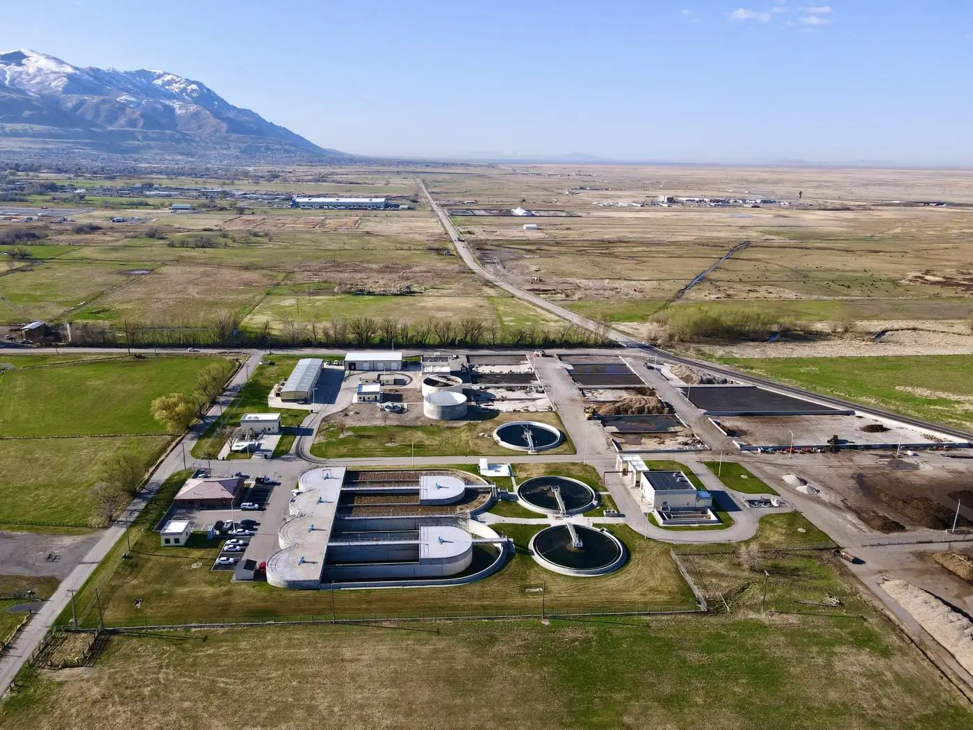
Maps, web-friendly visuals, reports, 3D views, before-and-after documentation, data packages, and custom workflows for unique projects.
3D GIS Visualization
Not every GIS deliverable needs to look like a technical map. Alpine Aerial Photography can turn geospatial data into polished visuals using Blender and 3D workflows, making complex sites easier to explain in presentations, reports, websites, proposals, planning meetings, and public-facing materials.
These visuals are built for communication, not engineering-grade simulation. The goal is to help teams, clients, stakeholders, and the public understand terrain, site context, project areas, and landscape change more clearly.
Gallery
GIS and drone data processing can support planning, documentation, analysis, and clear visual communication.
GIS Workflow
Imagery, LiDAR, photogrammetry, GIS layers, and 3D visualization can work together when the final use is defined early.
Use Cases
GIS drone services are most valuable when maps, models, and visuals help people make sense of a real site.
Construction progress and site documentation
Land planning and development
Environmental and land management projects
Real estate and vacant land marketing
Archaeology and cultural landscape documentation
Inspection and infrastructure context
Trails, recreation, and outdoor planning
Visual communication for proposals, reports, and public-facing content
Public engagement visuals for complex sites or landscapes
Process
The process starts with the final decision, presentation, or documentation need, then works backward to the right capture and processing plan.
Step 1
Step 2
Step 3
Step 4
Step 5
Workflow
Some projects need more than pretty aerial photos. They need accurate context, organized data, and clear visuals that help people understand a site.
Alpine Aerial Photography combines drone operations, GIS experience, LiDAR processing, photogrammetry processing, mapping deliverables, and visual communication so clients can collect, process, interpret, and present aerial data more clearly.
Deliverables can support planning, visualization, analysis, documentation, and decision-making. Survey-grade work should be coordinated with a licensed surveyor when required.
Why Alpine Aerial Photography
Alpine Aerial Photography bridges drone capture, GIS processing, and polished presentation so outputs are useful technically and easier for clients, teams, stakeholders, and the public to understand.
Drone operations plus GIS knowledge
LiDAR and photogrammetry processing experience
Colorado-based aerial and geospatial support
Blender and 3D GIS visualization skills
FAQ
GIS stands for Geographic Information Systems. It is a way of working with location-based data so that information can be mapped, analyzed, and visualized. For example, GIS can connect drone imagery, elevation data, roads, parcels, buildings, vegetation, and other site features into maps and visuals that are easier to understand and use.
Alpine Aerial Photography can create high-quality drone mapping, LiDAR, photogrammetry, and GIS deliverables for planning, visualization, documentation, and analysis. If a project requires legally survey-grade measurements or stamped deliverables, that work should be coordinated with a licensed surveyor.
Deliverables may include orthomosaics, point clouds, elevation models, 3D models, site maps, GIS-ready layers, visual reports, custom map graphics, and geospatial visualizations depending on the project.
Yes, if the imagery has enough overlap, usable metadata, and consistent quality. Alpine Aerial Photography can review existing datasets and help determine what outputs are possible.
Yes. Alpine Aerial Photography can work with LiDAR point clouds, terrain visualization, elevation models, and site context outputs for planning, documentation, analysis, and visual communication.
Alpine Aerial Photography uses GIS, drone mapping, and visualization tools such as ArcGIS, QGIS, Agisoft Metashape, DJI Terra, Google Earth Engine, Blender, and other project-specific tools when appropriate.
GIS and drone mapping services can be useful for planners, developers, builders, landowners, environmental teams, real estate professionals, archaeologists, designers, and organizations that need better site understanding.
Yes. In addition to technical mapping deliverables, Alpine Aerial Photography can create polished GIS data visualizations using drone data, elevation models, LiDAR, GIS software, and Blender. These visuals can be useful for presentations, reports, proposals, websites, planning meetings, and public communication.
Yes. Alpine Aerial Photography can create presentation-ready map graphics, 3D terrain visuals, site renderings, and visual assets that help make technical geospatial data easier to understand.
Start a Project
Tell us about the site, source data, deliverables, and accuracy needs. We'll recommend the right drone mapping, LiDAR, photogrammetry, or GIS workflow.